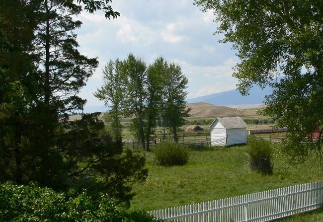
NPS Photo
Overview
The Grant-Kohrs Ranch National Historic Site is a working ranch commemorating the western open-range cattle industry that peaked in the 1890’s. The Ranch is located in a broad Rocky Mountain valley in west central Montana. The terrain consists of dry upland benches and the floodplain of the Clark Fork River. There are corrals, barns, and other ranch operation structures, as well as the original ranch house. The Ranch administrative boundary includes approximately 1,618 acres.The Grant-Kohrs Ranch National Historic Site Vegetation Inventory Project delivers many geospatial and vegetation data products, including an in-depth project report discussing methods and results, which include descriptions to vegetation associations, field keys to vegetation associations, map classification, and map-class descriptions. The suite of products also includes a database of vegetation plots, and accuracy assessment (AA) sites; digital images of field sites; digital aerial imagery; digital maps; a contingency table listing AA results; and a geodatabase of vegetation, field sites (vegetation plots, and AA sites), aerial imagery, project boundary, and metadata.
Products
The products of vegetation mapping projects are stored and managed in the National Park Service's Data Store, a repository for documents and publications relating to park resources. From the highlighted items below, click on the type of information you are looking for.
Last updated: October 10, 2018
