NPS Photo / Max Kandier
Overview
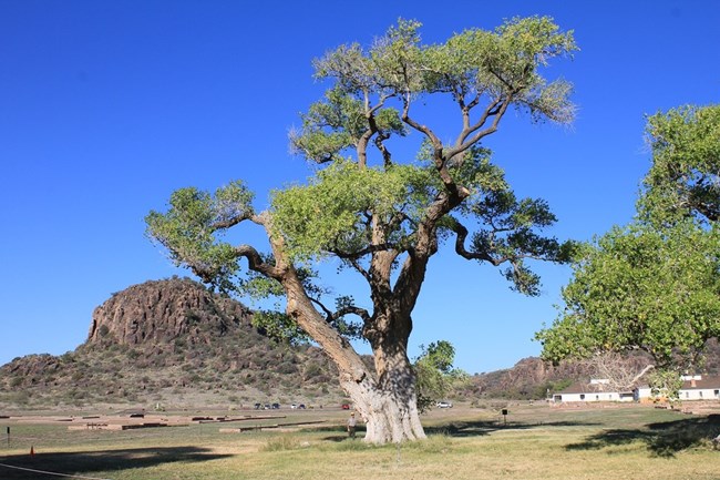
Fort Davis, established as a military post in 1854, is nestled in the foothills of the Davis Mountains in the Trans-Pecos region of west Texas. It lies at the mouth of a small canyon with steep sidewalls and faces east to the open grasslands of west Texas, the northeastern extension of the Marfa Plains grassland. The Fort Davis National Historic Site was established to preserve and protect what remained of the fort and the immediate natural landscape surrounding it (474 acres).The Fort Davis National Historic Site Vegetation Inventory Project delivers many geospatial and vegetation data products, including an in-depth project report discussing methods and results, which include descriptions to vegetation associations, field keys to vegetation associations, map classification, and map-class descriptions. The suite of products also includes a database of vegetation plots, and accuracy assessment (AA) sites; digital images of field sites; digital aerial imagery; digital maps; a contingency table listing AA results; and a geodatabase of vegetation, field sites (vegetation plots, and AA sites), aerial imagery, project boundary, and metadata.
Products
The products of vegetation mapping projects are stored and managed in the National Park Service's Data Store, a repository for documents and publications relating to park resources. From the highlighted items below, click on the type of information you are looking for.
Last updated: September 27, 2018
