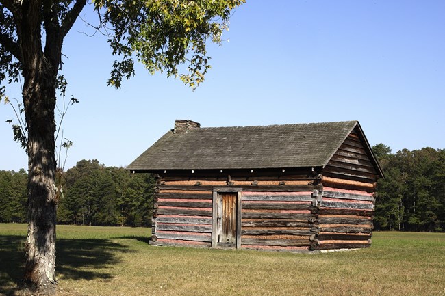
NPS Photo
Overview
Chickamauga and Chattanooga National Military Park currently consists of four major land parcels totaling more than 8,900 acres straddling the Georgia – Tennessee border. For a park set aside principally for historic preservation, Chickamauga and Chattanooga National Military Park has a high diversity of ecologically significant community types ranging from temporarily flooded bottomlands to rich forested slopes to very dry/xeric calcareous glades. Although a significant amount of acreage within the park is moderately early successional or mowed or maintained grassland, the majority of the park contains forests of at least 70 years of age.The Chickamauga and Chattanooga National Military Park Vegetation Inventory Project delivers many geospatial and vegetation data products, including an in-depth project report discussing methods and results, which include descriptions to vegetation associations, field keys to vegetation associations, map classification, and map-class descriptions. The suite of products also includes a database of vegetation plots, and accuracy assessment (AA) sites; digital images of field sites; digital aerial imagery; digital maps; a contingency table listing AA results; and a geodatabase of vegetation, field sites (vegetation plots, and AA sites), aerial imagery, project boundary, and metadata.
Products
The products of vegetation mapping projects are stored and managed in the National Park Service's Data Store, a repository for documents and publications relating to park resources. From the highlighted items below, click on the type of information you are looking for.
Last updated: September 13, 2018
