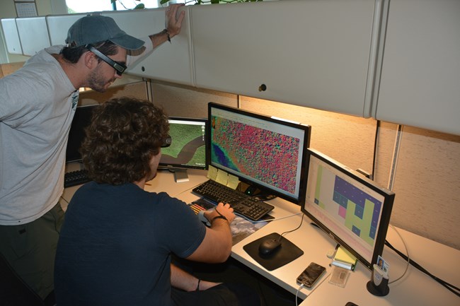
NPS Photo/Pablo Ruiz
The primary objective of the Vegetation Mapping Inventory is to produce high-quality, standardized maps and associated data sets of vegetation and other land-cover occurring within parks. This information fills and complements a wide variety of resource assessment, park management, and conservation needs.
Species and vegetation communities vary from park to park, and park managers, researchers, and ecologists all need and use this information. It helps them maintain plant biodiversity; better understand wildlife habitat; and manage challenges such as exotic species, insect outbreaks and diseases, and wildland fires.
To date, the South Florida/Caribbean Network has completed vegetation maps for Biscayne National Park, Buck Island Reef National Monument, Dry Tortugas National Park, and Salt River Bay National Historical Park and Ecological Preserve. The network is currently working on vegetation maps for Big Cypress National Preserve, Everglades National Park, and Virgin Islands National Park.
Vegetation Mapping publications
Find inventory reports below.Source: NPS DataStore Saved Search 2343. To search for additional information, visit the NPS DataStore.
Visit our keyboard shortcuts docs for details
- Duration:
- 3 minutes, 55 seconds
Watch this video to learn about the vital role interns at the South Florida/Caribbean Network play in completing the vegetation maps for Everglades National Park and Big Cypress National Preserve.
Last updated: March 30, 2021
