
NPS
Hiking Etiquette and SafetyTake plenty of drinking water and wear appropriate clothing and shoes. Stay on the established trails. Leaving the trail can be hazardous. 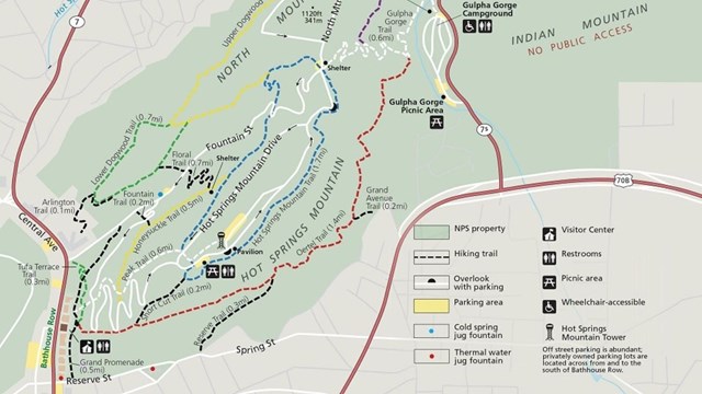
Hot Springs and North Mountain Trails
The trails on Hot Springs Mountain offer a great variety of opportunities to experience a lot of the Park. 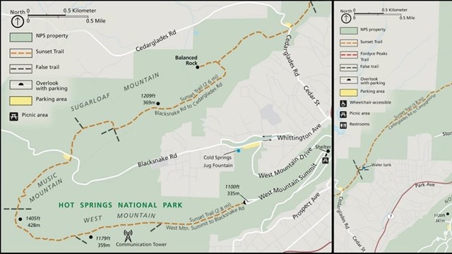
Sunset Trail
Get off the beaten path and take on the longest trail in the Park, the Sunset Trail! 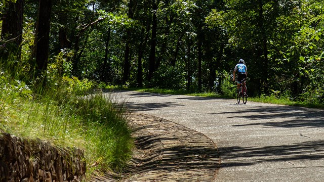
Biking in the Park
Learn about the opportunities and rules for biking in the Park! 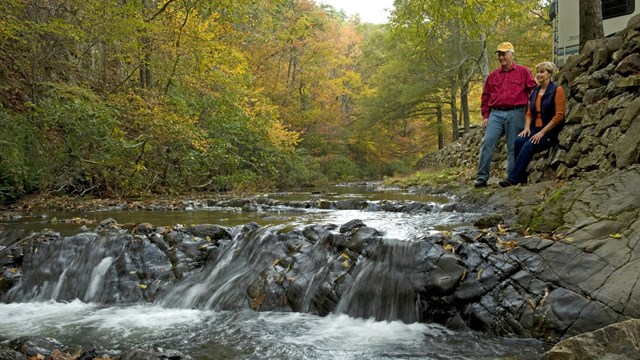
Gulpha Gorge Campground
With 40 sites right by Gulpha Creek, the Gulpha Gorge Campground is the perfect place to relax and enjoy the beauty of the Park. 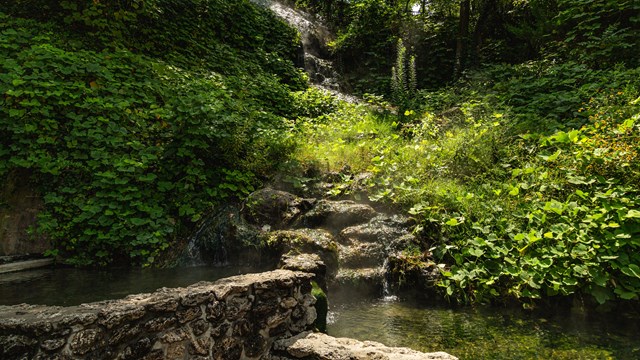
Experience the Water
Learn about the various ways that you can experience the thermal springs in the Park. |
Last updated: October 2, 2020