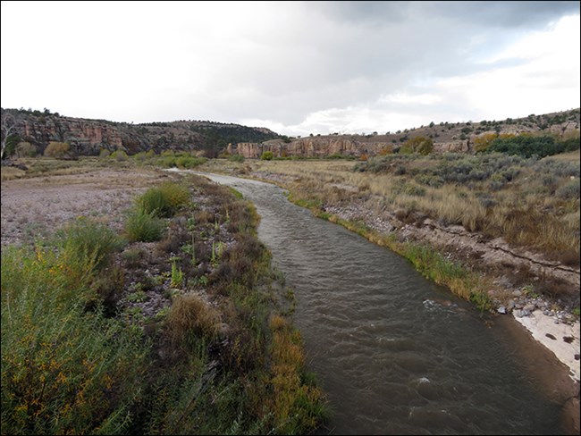
NPS Gila Cliff Dwellings National Monument lies at the confluence of the west and middle forks of the Gila River. At this point, the rivers are usually less than fifty feet wide and about a foot deep. Hikers should be aware that during the rainy season, July–September, runoff from rains in distant canyons may create flash floods. Want more information?The Sonoran Desert Network collects long-term data on streams at Gila Cliff Dwellings National Monument. The US Geological Survey monitors flow data for the Gila River. |
Last updated: October 8, 2023
