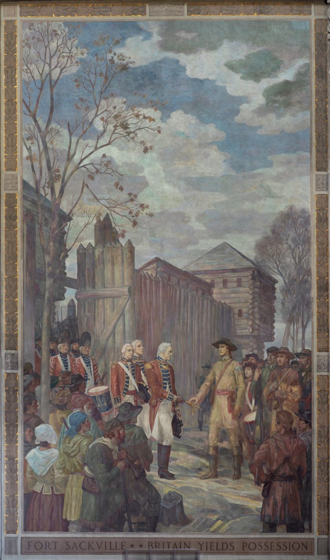
NPS Photo/Credit Tom Bartholomew Since Hamilton was not a military officer, it is not known whether he would have had a uniform or a ceremonial sword that he could have handed over to Clark during the surrender. Regardless of those details, it is undisputed that this moment of surrender represented so much more than just giving up a little one-acre fort on the frontier. Clark's victory here completely changed the dynamics of the western frontier. Clark succeeded in his plan to disrupt the British military presence in the western territory and confuse the Indians about where to bestow their loyalty. News of Clark's victory also led to thousands of Americans in the east deciding to move west of the Appalachians. Clark was never able to accomplish his ultimate goal of taking the main British outpost of Fort Detroit, however he did continue to foil any British or Indian offenses on the western frontier for the remainder of the war. The combination of Clark's conquests, the increased American population in the territory, and some skillful negotiating led to one of the most significant events in American history. The stage was set for the negotiations of the 1783 Treaty of Paris which officially ended the Revolutionary War. Most people know now that America was given possession of the 13 original colonies following the Revolution. What most people do not think about is that decisions also had to be made concerning the vast western frontier the British possessed. It was a common practice to draw boundary lines along natural borders. Both sides agreed that the new boundary between American and British holdings in the west needed to be a large natural feature that could be easily identified on maps and when traveling through the area. The British argued hard for that boundary to be the Ohio River. However, Clark's conquest at Fort Sackville meant America had taken an area north of the Ohio River in 1779 and had never retreated. The American negotiating team of John Jay, Benjamin Franklin, and John Adams was aware of this victory; and further realized that Americans were already filling up the area and they would be difficult for the diminished British forces to control. The Americans used these points as key negotiating factors and succeeded in moving the boundary from the Ohio River all the way to the location of the only other big natural boundary in the Midwest - the Great Lakes. Thus, the Northwest Territory was created as a part of the newly formed United States of America. Mural 6 - Marietta: The Northwest a new Territory |
Last updated: June 2, 2023
