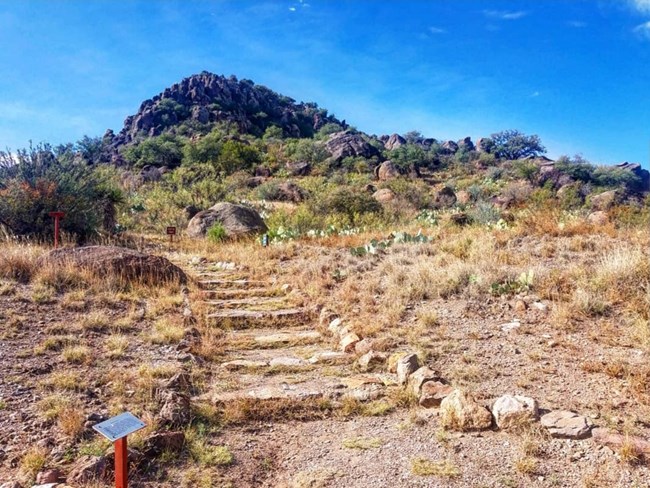
NPS Elevation Change: 46 ft. (14 m) Trail Head Location: Northwest of the parking lot. This is the only trail on Sleeping Lion Mountain, a short hike offers great photographic opportunites without the commitment of a long hike. 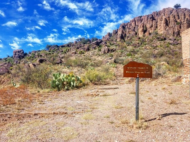
NPS Elevation Change: 320 ft. (97.5 m) Trail Head Location: Immediately after the wooden bridge on the Northwest corner of the Parade Grounds.This hike is steep and strenuous along the trail switchbacks of the trail there are stairs on certain portions. Along the northern route of the trail, can become slick after precipitation. This trail is 0.8 mi (1.3 km) long one way. 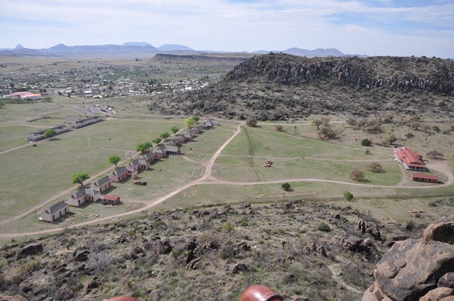
NPS Elevation Change: 320 ft. (97.5 m) Trail Head Location: Immediately after the wooden bridge on the Northwest corner of the Parade Grounds. Hikers make their way through the south-facing palisades of eroded lava flows up to the Scenic Overlook atop the North Ridge. This hike is steep and strenuous along the switchback portion of the trail utilizing stairs with rails. The trail offers panoramic views of Fort Davis NHS. The trail is 0.4 miles (0.6km) long one way. 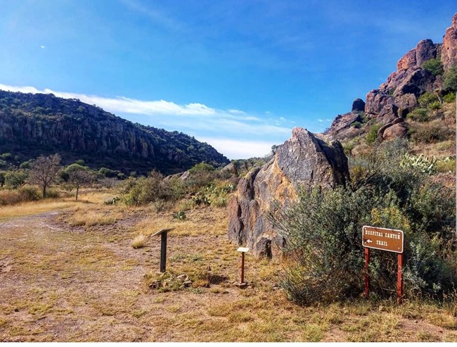
NPS Elevation Change: 325 ft. (100 m) Trail Head Location: Behind the Post Hospital, look for a boulder with a “Hiking Trail” sign. The Hospital Canyon Trail is .7 miles (1.2 km) from the trailhead to the intersection on top of the North Ridge. This trail is strenuous along the switchback portions and there are sections without shade. Two benches along the trail provide a place to rest and enjoy scenic views. This trail is a favorite amongst birdwatchers, be sure to pack a pair of binoculars! 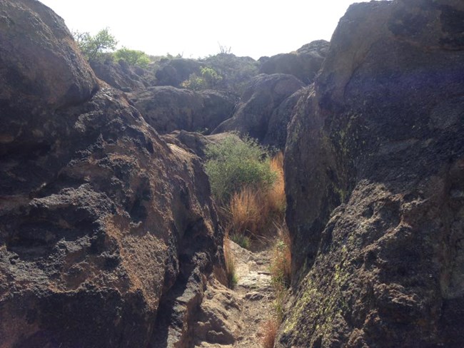
NPS Elevation: 5225 ft. (1592 m) The North Ridge Trail is 0.3 miles (.5km) long and can only be accessed by either the Hospital Canyon Trail, Tall Grass Loop Trail, or the Scenic Overlook Trail. This hike allows you to walk between Rhyolite boulders and experience the 360° views of the Davis Mountains. 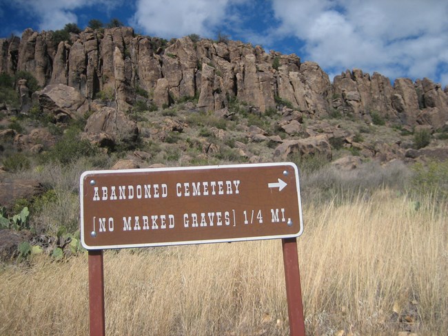
NPS Elevation Change: None. Trail Location: Begin at the bridge on the Northwest corner of the Parade Grounds. The Cemetery Trail is .2mi (.3km) long one way, this short hike takes you to the location of the post-Civil War Cemetery. While there are no longer any graves of soldiers or fort civilians, there is a wayside exhibit at the cemetery location where you can read about the 1892 reinterment to San Antonio National Cemetery. The Historic Pump House Trail is .6mi (1km) long one way, it begins in the same location as the Cemetery Trail and continues north past the cemetery interpretive panel. 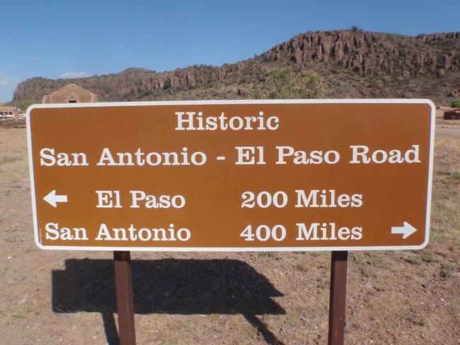
NPS Elevation Change: None. Flat trail. Trail Location: East end of the park's parking lot to the North boundary fence. The historic San Antonio-El Paso Road was once the southernmost road to California when gold was discovered. At 3742 ft (.70 m) this portion is likely the longest publicly accessible part of the road today. For those interested in walking in the footsteps of thousands of settlers before them, this is a great stroll with no elevation change. |
Last updated: October 29, 2021
