|
Note: Map includes all park maintained channels, including the 32 new corridors (which do not currently appear on nautical charts). Boaters are required to use standard and electronic navigation charts, and adhere to regulations of all newly-installed aids-to-navigation as posted.


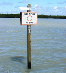
Florida Bay access corridor markers and signage project was originally completed just prior to Hurricane Irma. Since Hurricane Irma, many of the makers and signage was damaged and is currently being repaired. Corridor locations and restrictions are as follows:
Work was performed by a contractor in consultation with park staff. Funding was through the NPS and generous donations to the South Florida National Parks Trust from Yamaha and the American Sportfishing Association. Boaters should be aware there are important changes to existing channels as part of this project:
|
Last updated: February 21, 2019
