Directions


Traveling by Car

Most visitors to Death Valley National Park explore the park by private vehicle or as part of a permitted tour group. There is no public transportation to or within the park. There is no cell phone service along most park roads. Help may be many hours away; travel prepared to self-rescue.

There are three gas stations in the park:

  • The Oasis at Death Valley (located in Furnace Creek) sells two grades of gasoline and diesel.
  • Panamint Springs Resort sells gasoline and diesel.
  • Stovepipe Wells Resort sells 87-octane gasoline, but does not sell diesel.

Electric vehicles (EV): There are no rapid chargers inside the park. The closest rapid chargers are in Beatty, Nevada, 43 miles from Furnace Creek. Four chargers are located at Stovepipe Wells adjacent to the General Store. As of December 2023, the two chargers at The Inn at Death Valley are not working and two of the 4 chargers at The Ranch at Death Valley are working. It is unwise to expect to be able to use these to charge during peak visitation times when many other EV-drivers may be in the park (such as holidays in fall, winter, and spring).
AC Power Source 208/240V, center grounded 60Hz supply
Power to Electric Vehicle 30A maximum, 7.2kW@240VAC
Branch Circuit Protector 2-pole, common trip, 40AMP
Vehicle-to-Charger Connection SAE J1772(TM) EV Connector via 18ft capable
Energy Metering Accuracy 1% at 5min intervals; 0.5% capable
Standby Power 5 mA typical
 
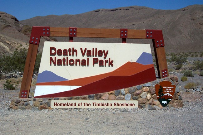
Colorful entrance sign in a desert setting with artists images of mountains and salt flats. Sign reads: Death Valley National Park Homeland of the Timbisha Shoshone. There is a wooded NPS Arrowhead logo on the stone base of the sign.

NPS Photo

Paved Entrances

  • East Side:
    • CA 190 from Death Valley Junction, CA
    • SR 374 from Beatty, NV
    • CA 178 from Shoshone, CA
    • SR 267 from US 95, NV
  • West Side:
    • CA 190 from Olancha, CA (SR 136 from Lone Pine, CA)
    • SR 178 (Panamint Valley Rd) from Trona, CA

Dirt Road Entrances

Many dirt roads enter the park. Popular entrances include: Wildrose Canyon Road, Harry Wade Road, Titus Canyon Road, Death Valley/Big Pine Road, and Saline Valley Road. See the Death Valley Backcountry and Wilderness Access Map for a list of roads and general road conditions.
Note that no services exist along these roads for many miles and there is no cell phone service. Help may be many hours away; travel prepared to self-rescue. Visitors entering the park on a dirt road can pay the entry fee in advance on Recreation.gov and display a printed pass on their vehicle dashboard.

 
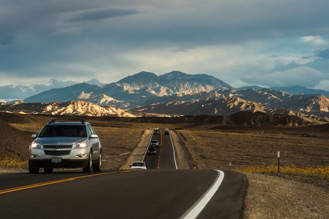
Passenger vehicles drive toward the camera on a paved road with sunlit desert mountains and dark clouds in the background.
Badwater Road provides access to many popular locations in Death Valley including Artists Drive, Devils Golfcourse, Badwater Basin and Ashford Mill.

NPS/Kurt Moses

Using GPS Navigation

DO NOT DEPEND ONLY ON YOUR VEHICLE GPS NAVIGATION SYSTEM.

GPS Navigation to remote locations like Death Valley National Park are notoriously unreliable. Numerous travelers have been directed to the wrong location and dead-end or closed roads by following incorrect GPS information. Travelers should always carry up-to-date road maps to check the accuracy of GPS directions.

There is no specific street address for the park or the Furnace Creek Visitor Center.

Map coordinates for Furnace Creek Visitor Center are: N 36°27.70, W 116°52.00

Consider downloading the free National Park Service App prior to your visit and save Death Valley for "Offline Use" to view the locations of popular points of interest in the park.

By Private Plane

  • There is a small public airport at Furnace Creek. Fuel is NOT available at the airport. You must provide your own tie downs.
  • There is also a rough paved strip at Stovepipe Wells. No fuel is available.
  • We recommend airport information manuals for further details.
 

Park Maps

Check out the park map and download the park newspaper.

Plan your route through the park!
 

Traveling Safely

Many of Death Valley's roads were built in the 1930s. They are narrow and serpentine and cannot be driven at high speed. The most dangerous thing in Death Valley is not the heat - it is the single car rollover.

Plan Ahead

Cell phones do not work in most areas of Death Valley National Park and wifi is only available for purchase at the Furnace Creek Ranch (Hotel).

Backcountry Travel

Travel on the park's hundreds of miles of backcountry roads requires the correct type of vehicle for the road conditions, tools and replacement parts for your vehicle, and experience driving on rough dirt, gravel and 4-wheel drive roads. Backcountry travel in the summer months (April through mid-October), can be dangerous and requires additional water and supplies and knowledge of how to survive if your vehicle becomes disabled in desert summer conditions!

Last updated: April 26, 2024

Park footer

Contact Info

Mailing Address:

P.O. Box 579
Death Valley, CA 92328

Phone:

760 786-3200

Contact Us