Part of a series of articles titled Beach and Coastal Landforms.
Previous: Estuary Landforms
Next: Tropical Coast Landforms
Article

NPS Photo
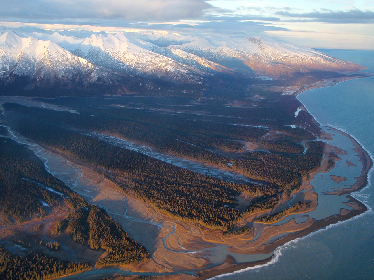
Where rivers provide large quantities of sediment to the shore, estuaries are filled and river sediments are discharged directly into the ocean. If the rate of sediment supply exceeds the rate of sediment removal by waves and tidal currents, a buildup of sediment occurs at river mouths. These deposits, which commonly assume triangular shapes in planar view, are termed deltas because they resemble the Greek capital letter delta (Δ).
In actuality, not all deltas display the classic “delta” form. This characteristic shape develops typically at river mouths, where waves and tides do not influence the amount of sediment supplied by the river. Such systems, exemplified by the Mississippi River delta, are called river-dominated deltas. Waves dominate riverine deposits in coastal areas where wave energy is high. Wave erosion and strong longshore currents disperse the sediment away from the river mouth, producing a relatively straight coast with only slight seaward bulges of the shoreline. In some regions, a large tidal range overshadows river and wave effects, creating tidal-dominated deltas. The strong flood and ebb tidal currents rearrange the river-supplied sediment into long, linear submarine ridges and islands that tend to fan out from the river mouth, creating funnel-shaped basin geometries.
Part of a series of articles titled Beach and Coastal Landforms.
Previous: Estuary Landforms
Next: Tropical Coast Landforms
Last updated: March 20, 2019