Last updated: July 12, 2023
Article
Cultural Landscapes 101
What are Cultural Landscapes?
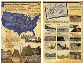
Cultural landscapes are historically significant places that show evidence of human interaction with the physical environment. Their authenticity is measured by historical integrity, or the presence and condition of physical characteristics that remain from the historic period.As identified by the National Park Service, cultural landscapes are places within U.S. national parks that have significance in American history and authenticity to a historic time period. The components of park cultural landscapes include human-modified ecosystems such as forests, prairies, rivers and shores; as well as constructed works, such as mounds, terraces, structures and gardens.

The five cultural resource areas of the National Park Service are:
- cultural landscapes
- historic structures
- archeology
- museum collections
- ethnographic resources
Where are they?
The majority of national park units contain cultural landscapes, and there are more than 800 throughout the system.An entire park may be a single cultural landscape, such as Big Hole National Battlefield. Some parks, like the Blue Ridge Parkway, contain many cultural landscapes.
What do they look like?
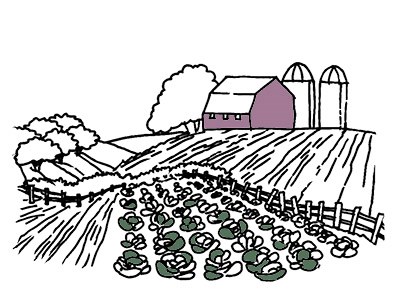
The NPS identifies four cultural landscape types: historic designed, historic vernacular, historic agricultural, and ethnographic. Their appearance varies widely, representing a range of uses, events, time periods, and environments.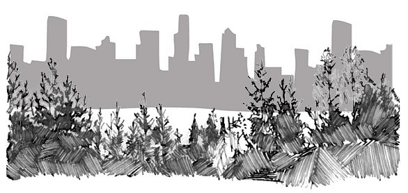
They vary in size, from many thousands of acres to less than an acre.
They range in age, from thousands of years to just decades old.
They vary from naturally-occurring places like Devils Tower in Wyoming, to human-designed places like the Jefferson National Expansion Memorial in Missouri.

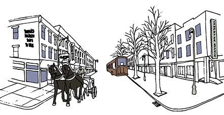
Integrity and Significance
Cultural landscapes have authenticity, or historic integrity. This means that they are recognizable as the places of the historically significant period.Cultural landscapes have significance in American history. Their significance, from the National Register of Historic Places Criteria for Evaluation, can be associated with:
- a historic event
- a historic person
- a historic style of design or method of construction
- a potential to reveal further information through archeology.

Landscape Characteristics
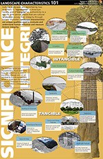
If the characteristics and features of a cultural landscape are historically significant and have integrity, they can contribute to the historic character of the property.Landscape characteristics are evidence of historic processes or patterns. They are physical expressions of both tangible and intangible aspects of a place that have either influenced the history of a landscape's development, or are products of its development.
The National Park Service recognizes thirteen types of landscape characteristics that can potentially be found in any cultural landscape:
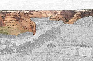
In this image: People have lived, raised livestock, and farmed in the canyons of Canyon de Chelly National Monument for nearly 5,000 years.
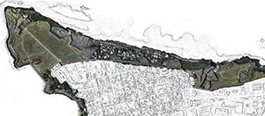
In this image: An aerial view of San Juan National Historic Site in Puerto Rico shows the organization and relationships between La Fortaleza (the first fortification built in Old San Juan), city walls, the city of Old San Juan, and the surrounding water of San Juan Bay.
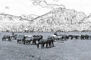
In this image: For early homesteaders in what is now Grand Teton National Park, primary land use was focused on subsistence and making improvements to prove ownership of a claim. Activity in the remote Wyoming region revolved around cultivation. Over time, this focus shifted from agriculture to tourism (including dude ranching), and current uses include recreation and cattle grazing.
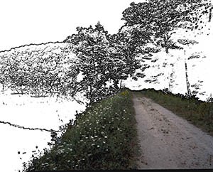
In this image: At Marsh - Billings - Rockefeller National Historical Park in Vermont, many of the paths and drives were built in a naturalistic, irregular plan, keeping with the popular English or Natural style of landscape gardening used in both urban parks and country estates at the time.
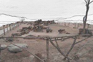
In this image: The gardens at Manzanar National Historic Site typified the adaptability of Japanese garden design and their designers. Created in the harsh circumstances of the internment camp in the California desert, the gardens were expressions of Japanese American cultural traditions, including an affinity with nature and its representation through garden forms.
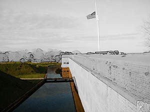
In this image: The construction plans for Fort Pulaski National Monument had to be revised due to the deep mud under the alluvial island upon which it stands. In 1830, a dike and ditch system was built to control the flow of water around the island and to the moat that surrounds the fort.

In this image: The Fruita Rural Historic District in Utah was once a small and remote farming community of Mormon settlers. The valley's reputation expanded into the 1950s, when it became regionally renowned for its cultivation of privately-maintained fruit orchards. Capitol Reef National Park continues to maintain the orchards.

In this image: At Grant-Kohrs Ranch National Historic Site in Montana, distinct clusters of ranch buildings are associated with different periods of landscape development and use.
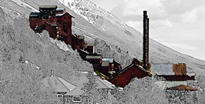
In this image: The concentration mill at the Kennecott Mines National Historic Landmark, within Wrangell - St. Elias National Park and Preserve of Alaska, is an example of how the form, function, materials, and construction of buildings or structures can be related to land use and built in response to the natural environment.

Views are the expansive or panoramic prospects of a broad range of vision which may be naturally occurring or deliberate. Vistas are the controlled prospect of a discrete, linear range of vision. Views and vistas can be defined by the composition of other landscape characteristics, such as a lookout structure or a view framed by vegetation.
In this image: At Going-to-the-Sun Historic District in Glacier National Park, Montana, views from the road are integral to its function of making park scenery available to visitors.
In this image: At Going-to-the-Sun Historic District in Glacier National Park, Montana, views from the road are integral to its function of making park scenery available to visitors.
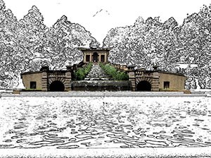
Built features and elements that utilize water for aesthetic or utilitarian functions in the landscape, such as fountains, pools, ponds, cascades, canals, and reservoirs.
In this image: Initially laid out as part of the 1914 plan for Meridian Hill Park, part of Rock Creek Park in Washington, DC, the focal point of the lower gardens is a series of eight cascading basins.
In this image: Initially laid out as part of the 1914 plan for Meridian Hill Park, part of Rock Creek Park in Washington, DC, the focal point of the lower gardens is a series of eight cascading basins.

In this image: The cultural landscape at Ocmulgee National Monument in Georgia contains a collection of earthen mounds and archeological sites associated with the Mississippian culture along the Ocmulgee River.
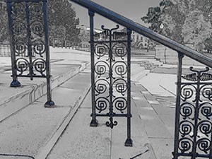
In this image: An ornate railing decorates a stairway of the US Capitol in Washington, DC, near one of the many designed cultural landscapes of the National Mall and Memorial Parks.
Learn More on Cultural Landscapes
- Visit our Cultural Landscapes website to learn more about the subject and find us on social media.
- Explore our cultural landscape reference collection, which includes preservation guidance and publications.
Source: NPS DataStore Collection 3785. To search for additional information, visit the NPS DataStore.

