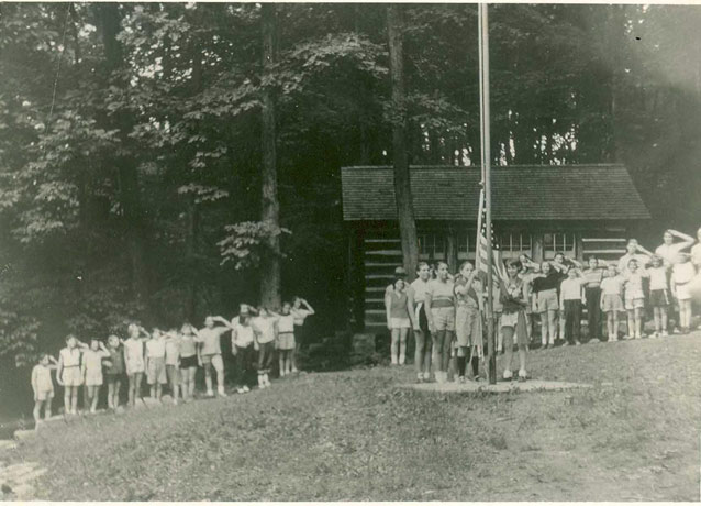
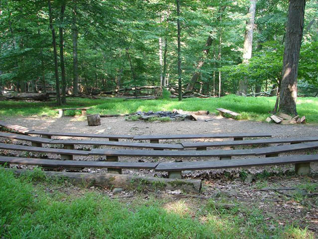
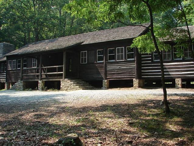
Camp Misty Mount is a cabin camp, or what was originally called an “organized group camp.” It was one of about one hundred such camps built by the NPS during the New Deal of the 1930s, as an example of what were termed Recreational Demonstration Areas (RDAs). It is located in the mountains on the western edge of Maryland’s Piedmont region, within Catoctin Mountain Park.
"The altitude is rather high making it cool in the summer time, a very desirable point to consider for a recreational area to serve people from the cities during the summer months." Nicolet to Weatherwax, 19 November 1934, RDA Program Files, National Archives (in CLI report)

NPS
First called Organized Group Camp 1-C when it was built, this was the first of three group camps built in the Catoctin RDA. It opened in 1937 and was followed in 1938-39 by two other camps.
Recreational Demonstration Areas were part of the continuing response by the Roosevelt Administration to the social and economic crisis of the Great Depression, specifically in connection with agricultural reform. The NPS proposed to develop Recreational Demonstration Areas on unproductive farmland to serve urban areas. These summer camps, known as organized group camps, were the primary RDA facilities built during this time.
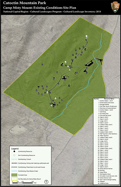
Camp Misty Mount had no defined boundaries; it blended into the larger park landscape, and it still does. Camp Misty Mount was designed as a children's camp and was built according to a plan where the camp was divided into “satellites” around a central core. Each unit was comprised of sleeping cabins, a lodge and a latrine.

NPS
The central core of buildings, all connected by footpaths, consisted of a dining room, staff quarters, camp office, infirmary, central wash, an activity building, and equipment storage. A swimming pool was also part of the initial design, showing that swimming was an important camp activity. The RDAs, like other park development work carried out during the 1930s by relief workers, were built in the rustic style.
Camp Misty Mount was built by local WPA relief workers. In 1942, the park closed and it was transferred to the armed forces for an unspecified term of years. During that time, the camp was winterized by glazing or blocking up windows, adding heaters, and putting up wall boards and ceilings. Most notable to the wartime changes, the third camp was transformed into a retreat for President Roosevelt: Camp David. After the war, Camps Misty Mount and Greentop reopened.

NPS
Camp Misty Mount was listed on the National Register in 1989, with the period of historic significance identified as 1934-1938. The landscape is representative of the development efforts of the New Deal, and it also reflects NPS rustic style architecture. It is also part of a separate multiple property listing under the theme “Emergency Conservation Work (ECW) Architecture at Catoctin Mountain Park.”

NPS
The entrance road and circulation route between the camp units are in their original locations. The circulation route may have been in use before the camp was built, existing as a forest road or a charcoal sled road. It was a foot path in the original design of the camp, and was widened and made into a gravel-surfaced, all-purpose road by the 1950s, if not earlier by its military occupants in the 1940s.
Quick Facts
- Cultural Landscape Type: Designed
- National Register Significance Level: State
- National Register Significance Criteria: A, C
- Period of Significance: 1935-1941
Landscape Links
Last updated: October 7, 2021
