Last updated: April 22, 2024
Article
StoryMaps, Web Apps, and CRGIS Projects
CRGIS Maps and Apps
Cultural Resources GIS (CRGIS) has collaborated on hundreds of resource documentation projects. We work closely with programs such as the Heritage Documentation Programs, the Southeast Archeological Center, and the American Battlefield Protection Program. Explore Samples of our work below:
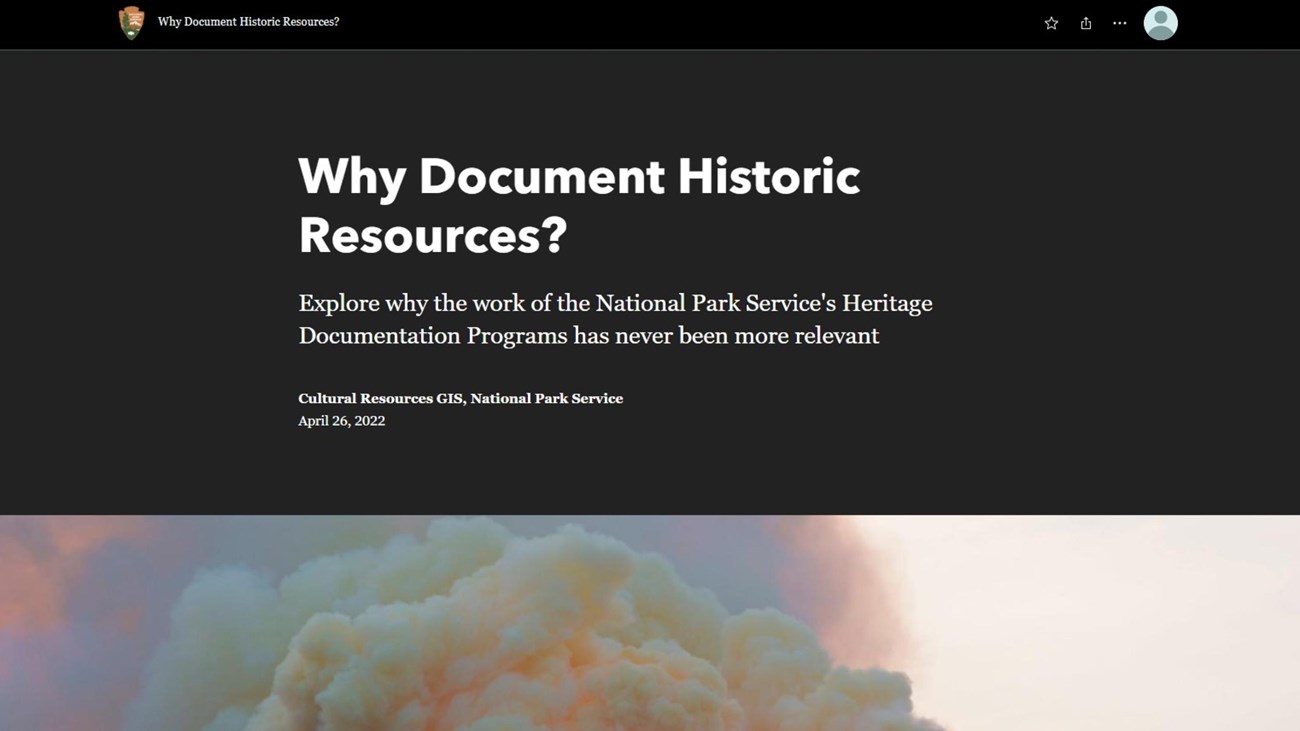
Why Document Historic Resources?
A StoryMap of mapping and documenting cultural resources.
CRGIS StoryMaps
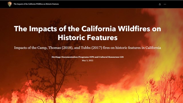
Calif. Wildfires on Historic Artifact
Learn about the impacts of California wildfires
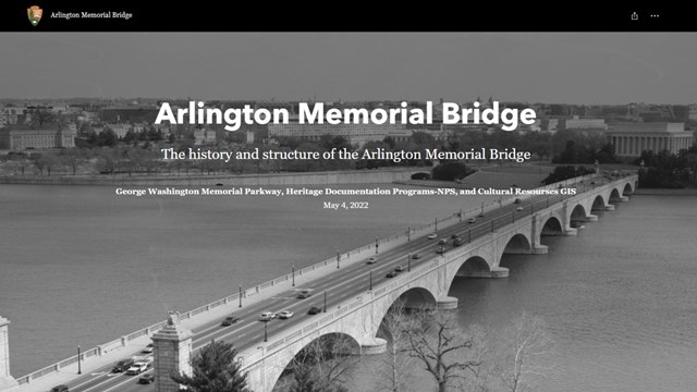
Arlington Memorial Bridge
History and structure of the Arlington Memorial Bridge.
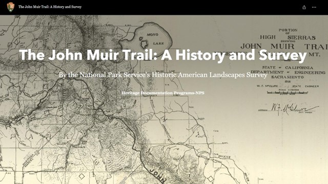
John Muir Trail: History
History and survey of the John Muir Trail
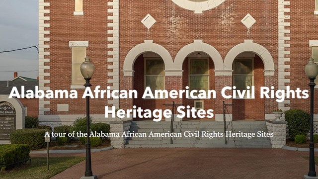
Alabama AACR Heritage Sites
African American Civil Rights heritage sites.
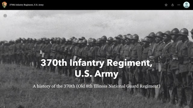
370th Infantry Regiment Map
History of the 370th Infantry.
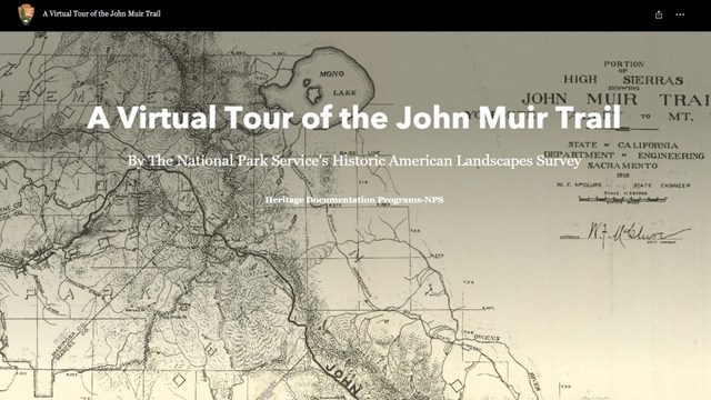
John Muir Trail: Virtual Tour
A virtual tour of the John Muir Trail.
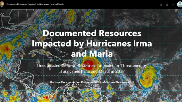
Documenting Resources
Learn about the impact of documenting historic resources.
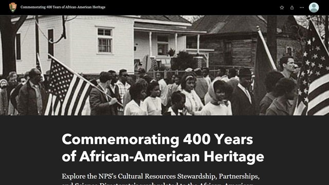
400 Years of African Am. Heritage
Learn about 400 years of African American Heritage.
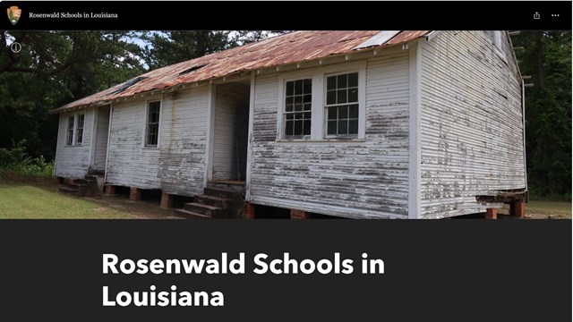
Rosenwald Schools in Louisiana
Learn about Rosenwald Schools in Louisiana.
AGOL StoryMap Guidance
To ensure ArcGIS Online users establish proper NPS branding and follow Section 508 compliance when publishing StoryMaps for public or internal audiences, a StoryMap Builder Guidance document may be referenced here. The document provides detailed steps on how to meet Section 508 compliance and how to create NPS branding using ArcGIS Online (AGOL) Theme Builder. Theme Builder creates a visual style for elements that will match the NPS graphic identity.