
Where is the Trail of Tears?
Take a look at interactive, historic, and trip planning maps to learn more about locations along the trail. The Trail of Tears is not a clearly marked hiking trail. Instead it is a route that passes through communities, urban areas, public lands, rivers, and Wilderness. The route travels across a variety of land ownerships and management, including private land. Because of the nature of the trail, it is not possible to travel directly on the full national historic trail route. You can reach the national historic trail by flying into a number of airports. Because of the nature of the trail and the site locations, traveling by car is the best way to visit the trail. 
NPS Mobile App
It's like having a ranger in your pocket! Download the NPS app, find the trail, and start planning your visit today. 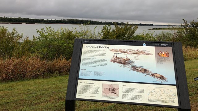
Places to Go
Where can you visit the trail? Use the interactive map to find places to visit. |
Last updated: April 29, 2025