



|
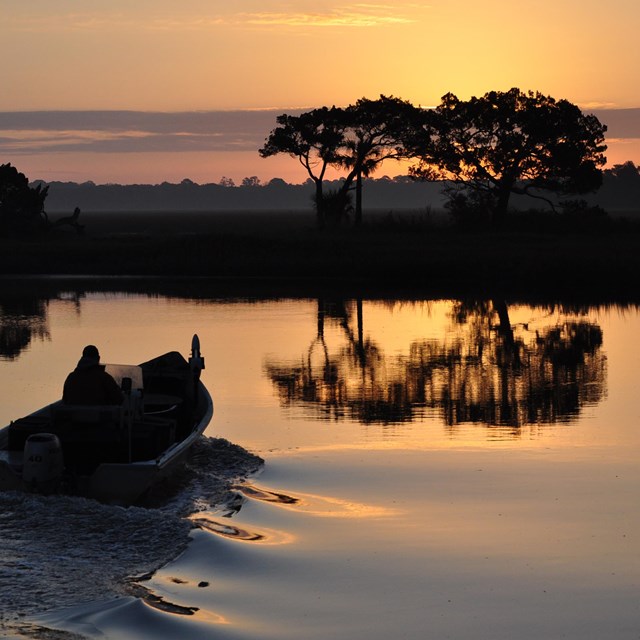
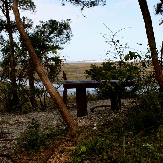
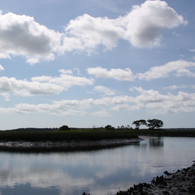
Like much of old Florida, Cedar Point, which lies on the south tip of Black Hammock Island, has seen a great deal of change through the past few hundred years. Now preserved as a natural environment, the area was once the site of a Spanish Mission, later subjected to agriculture during the plantation period of the 19th century, and management as a pine plantation during the 20th century, later it became a popular boat launch and fishing destination known as "Buddy's Fish Camp". These human activities have left their mark on the land. Learn about the plantation ruins, located just off the blue trail. Consisting of approximately 400 acres, Cedar Point is located at the south end of Black Hammock Island. Visitors have the opportunity to experience both upland hammocks and salt marsh habitats by land and water. Hiking and biking are allowed on the trails. Cedar Point is part of the 7 Creeks Recreation Area Cedar Point hosts a wide range of north Florida ecosystems. A boat ramp provides access to some of the best fishing spots in the region. It is a popular launch site for boaters, kayakers, and paddle boarding. Birdwatchers come to Cedar Point to see over 200 species of birds, including the beautiful painted bunting. Plan your hike in advance by bringing water, bug repellant, and a copy of the trail map. There are now exhibits, restrooms, and picnic tables available at Cedar Point. For directions, click here.

NPS |
Last updated: October 25, 2022