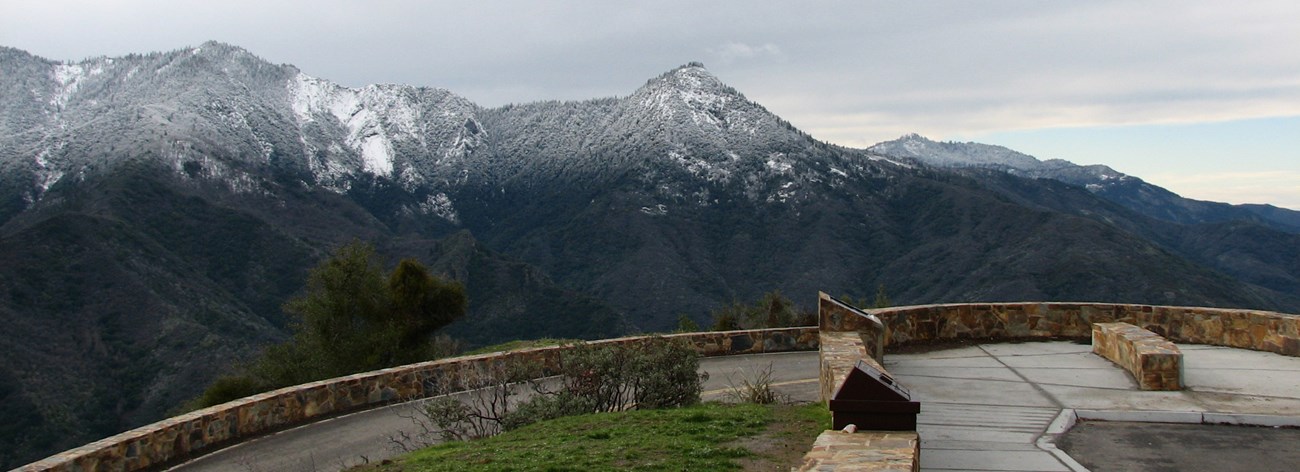
NPS Photo - Lora Haller Winter is a great time to visit the park, but the weather is often unpredictable. Snow can fall suddenly at any time of year on park roads in higher elevations, accumulate rapidly, and linger for days or weeks. Be prepared with warm clothing, a sleeping bag, water, and emergency food in case you need to wait for the road to be plowed. If you're planning a trip in snowy weather, be prepared for winter road conditions. Tire chains are often required in these parks, and chain requirements can be in effect for days after a storm. You may need to bring chains for your vehicle, even if you have four-wheel or all-wheel drive. Chains are also available for rent or purchase in nearby towns. Check the alerts and conditions page for the latest road conditions.
Driving from Sequoia National Park's Ash Mountain Entrance to LodgepoleThis route is spectacular but can be unnerving in winter if you're not used to driving in snow. Chains are often required, sometimes even in fall or early summer. The upper part of this drive may close for snow removal at any time. Allow 1.5 hours one-way, plus your time to stop at viewpoints. Features along the way include: Historic Entrance SignJust a mile past the Foothills Entrance Station, you will find the historic Sequoia National Park Sign installed by the Civilian Conservation Corps in 1935. The Kaweah River to Hospital RockPullouts along this stretch of road offer views up and down the Kaweah Canyon as the highway winds up alongside the river's rapids. Hospital RockLocated across from Potwisha Campground, this historic site hosted a Native American Village. Today grinding mortars and pictographs can be found in this vicinity. Though it sometimes snows at this elevation, it's not common for it to stick for more than a few days. Amphitheater PointThis notable hairpin turn offers a pullout with waysides and an excellent side view of Moro Rock. Look for the snowy Castle Rocks in the distance. Eleven Range OverlookAt this pullout you can find another wayside and a spectacular vista overlooking the Kaweah Canyon toward the San Joaquin Valley. Beetle RockAs you arrive in the Giant Forest a short hike from the Giant Forest Museum takes you to Beetle Rock, a granitic dike offering great views of the valley. Marble Fork CanyonThe Generals Highway from Giant Forest to Lodgepole offers dramatic views of the Marble Fork Canyon through the trees. The Giant ForestAs you climb out of the Marble Fork Canyon, the road enters a snowy sequoia landscape. Giant Forest Museum is open year-round. The General Sherman TreeThe trail to the tree is usually accessible year-round, though it may be icy in winter. Views of the WatchtowerOnce you reach Lodgepole, follow the road to Lodgepole Campground (closed in Winter) for dramatic views of the the Watchtower rising out of Tokopah Valley. Driving from Lodgepole to Grant GroveThis drive is not possible when Generals Highway is closed due to snow accumulation, usually from early January to mid-March. Along this stretch you'll catch snow-filled meadows and peaceful mountain vistas through the trees. On clear days, you can even see all the way to the San Joaquin Valley 6-7,000 feet below. This road between Sequoia and Kings Canyon may close at any time—sometimes for an extended period—to allow for snow removal. Allow 1.5-2 hours one-way plus additional time for side trips and time out of the car. Buena Vista PeakIf there is little or no snow, a 1-mile trail leads to great views of Redwood Canyon, Buck Rock Lookout, and the High Sierra. (Allow an extra 2-3 hours) Big Meadows RoadThis Forest Service road serves as a cross-country ski trail in the winter, giving access to many miles of peaceful sub-alpine country. Kings Canyon OverlookThis pull out offers waysides and impressive winter views of the Kings Canyon and High Sierra wilderness. Redwood Mountain OverlookHere you will find an excellent view overlooking the world's largest sequoia grove. Redwood Mountain Grove
|
Last updated: December 15, 2023
