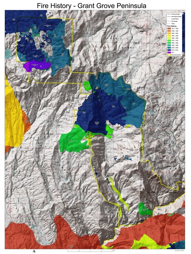
NPS Photo Geographical Information Systems (GIS) are a powerful way for exploring geographic data and gaining new insights. GIS data are helpful in visualizing the fire regimes within these parks. They can be queried in different ways to extract fire information based on attribute characteristics. Fire history and fire frequency data can be viewed on the web-based Sequoia and Kings Canyon Park Atlas. Several papers have been written about how resource managers within the Parks are using GIS and fire history data for management purposes. Several of these papers can be downloaded from the Fire and Park Resources page. |
Last updated: September 30, 2024
