NPS - J. Axel 
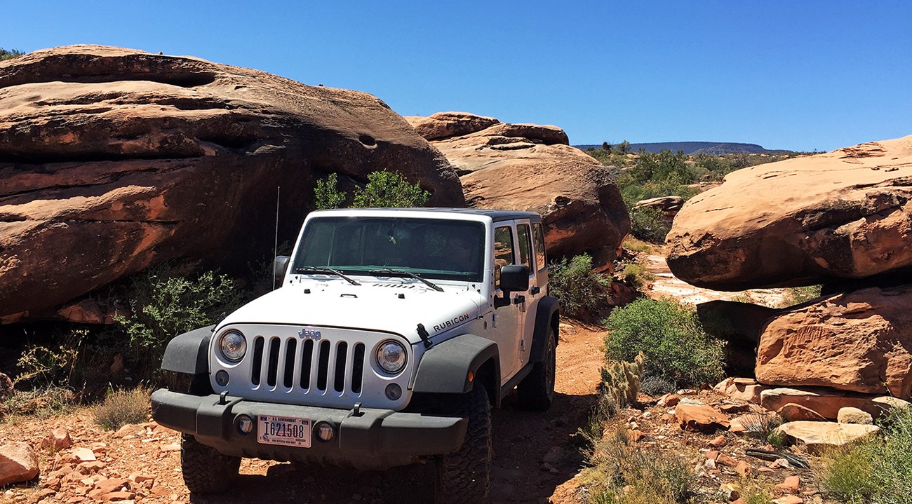
NPS - J. Axel How do you feel about steep dropoffs right next to the road? You know, those dropoffs that go down hundreds of feet? Or how about bouncing over bedrock and maybe scraping the skidplates a little bit? If you are looking for adventure, rarely seen Grand Canyon scenery, and you are after an adrenaline rush, this area is great to visit in the fall, winter, or spring. It is not recommended in summer due to extreme temperatures and remoteness. The BLM1230 road travels down the Trail Canyon Dugway into Parashant Canyon to a middle bench of the Grand Canyon. This route is one of the great adventures to be had in the monument. Stock 4x4 pickups and SUVs must NOT attempt this route due to extremely rough conditions, hairpin turns, and deep dips in the road. No crew cab pickup can navigate the road hazards. Directions: From the Mt. Trumbull Schoolhouse take BLM1063 southwest toward Andrus Point. BLM1063 passes through several gates. Leave them as you find them. They are used by local ranchers for cattle operations. After 9.9 miles you will reach BLM1230. Take a right. At the 4x4 warning sign, the road drops into Trail Canyon. This dugway is very steep with grades exceeding 20%. You may need to rest your vehicle's brakes at one of the flat areas so they can cool down. The dugway drops 2,000 feet in elevation in only a few miles. For those afraid of heights, be aware there are several sections of this road that have sheer dropoffs at the edge of the road that go down several hundred feet. The road in Trail Canyon can be washed out and impassible after monsoon storms. 2 minute video showing the rough 4x4 road conditions in Trail Canyon and the spur road to Copper Mountain Mine. 
NPS - J. Axel 
NPS - F. Salas 
NPS - F. Salas
Why is there a copper mine here? Read more about the unusual geology of breccia pipe mines in the Grand Canyon. If you want to continue toward Andrus Canyon and Mollies Nipple on BLM1230 west of the turnoff to the mine, just be aware that the road becomes extremely rough, steep, and winding. UTVs are the only recommended vehicles with the clearance to do this road. Even stock Jeep Rubicons likely won't make it but lifted Jeeps with modified suspensions can. The road runs over boulders in the Andrus Canyon wash for over 1/4 mile to Dripping Spring and ends near Mollie's Nipple. This road is not maintained. |
Last updated: March 22, 2024
