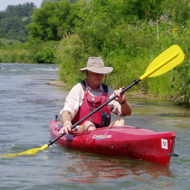
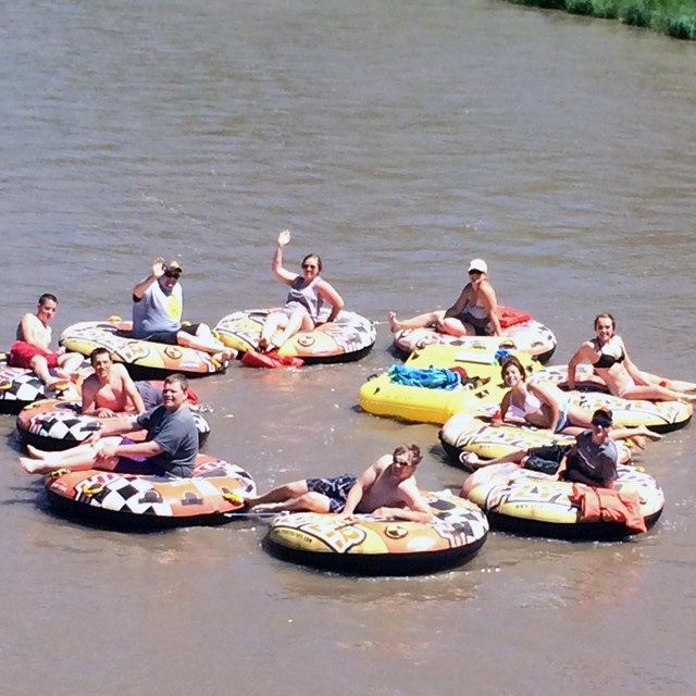
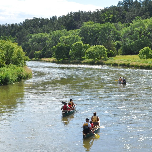
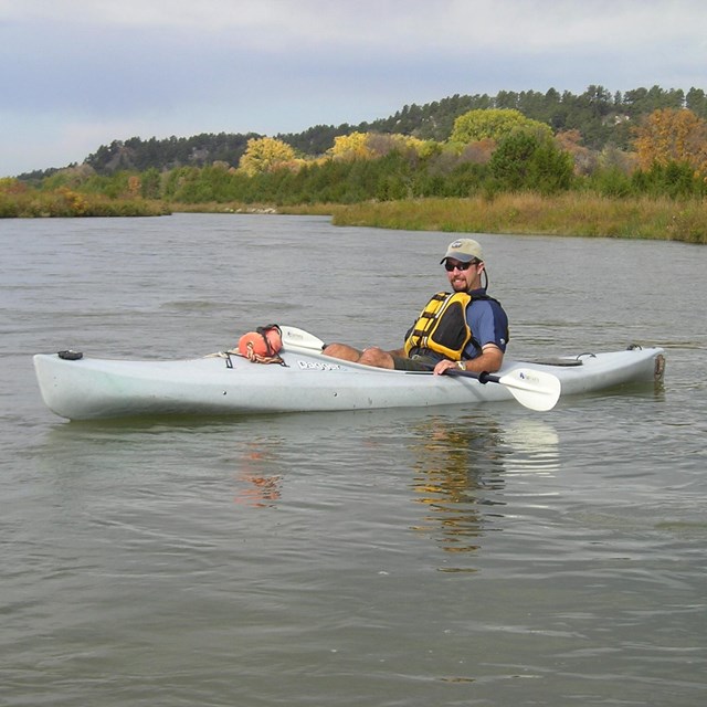
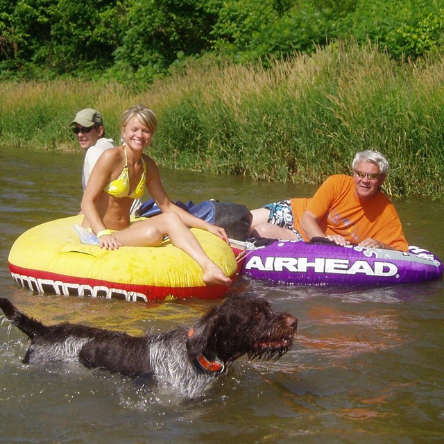
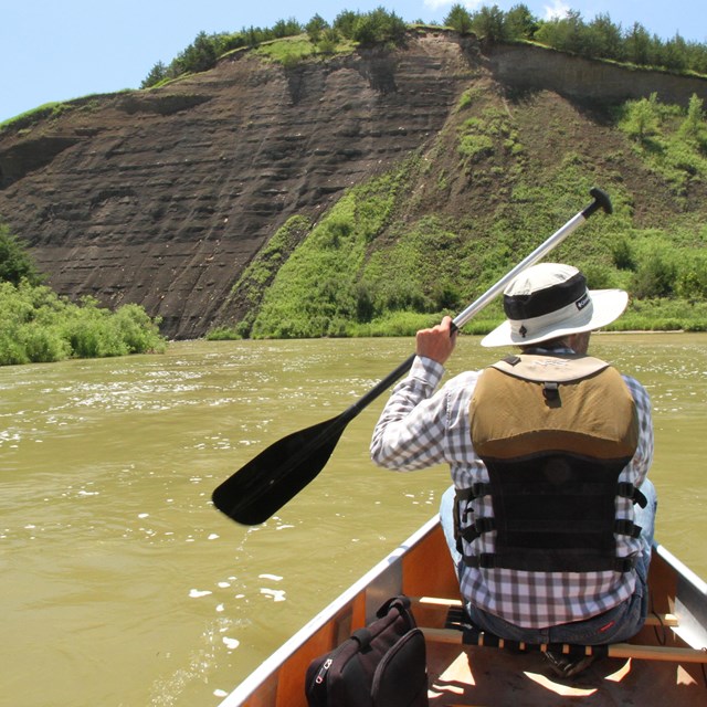
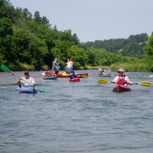
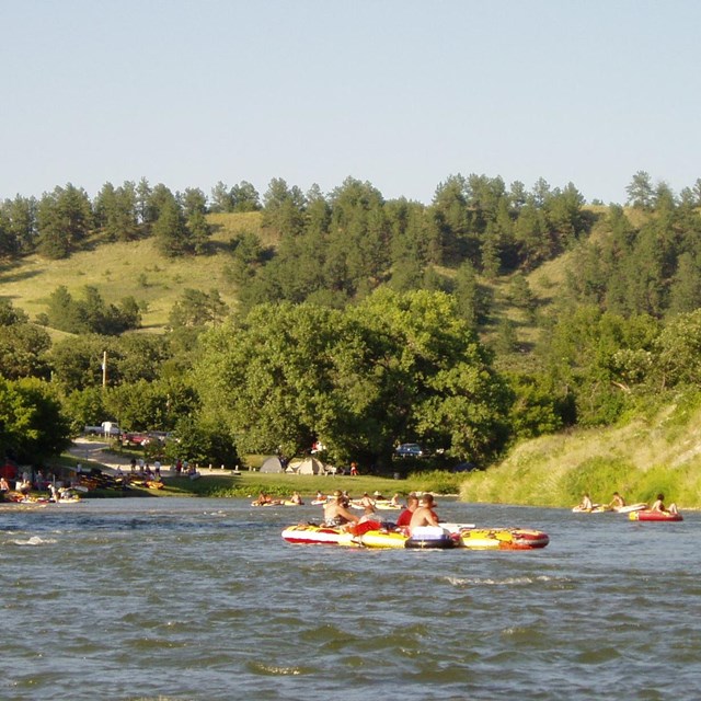
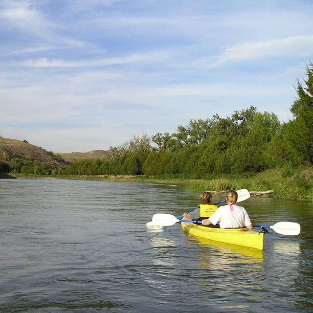
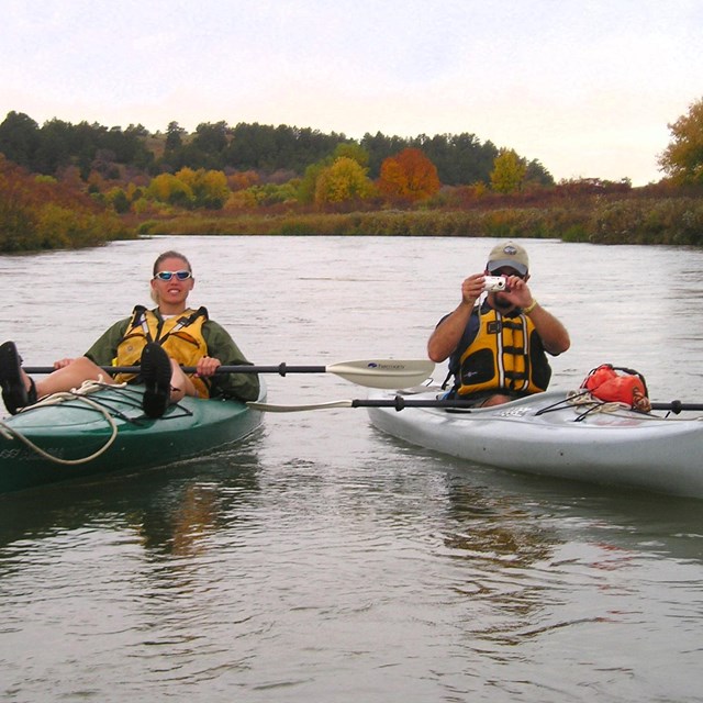
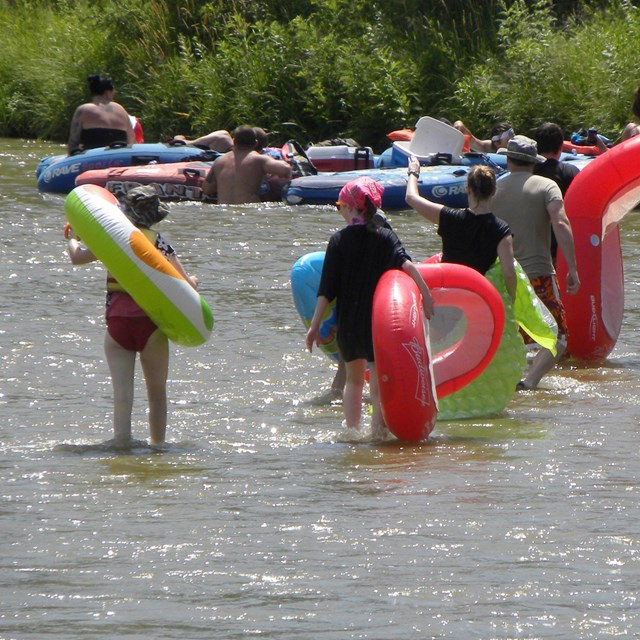
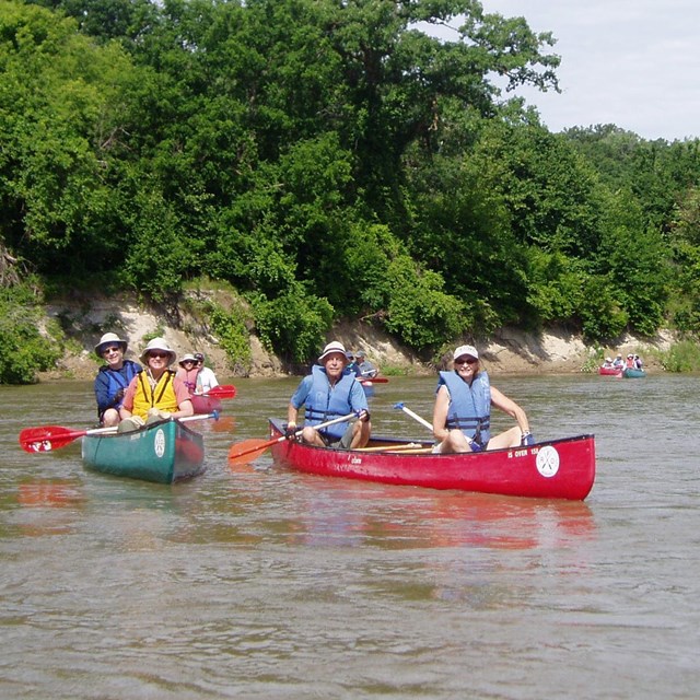
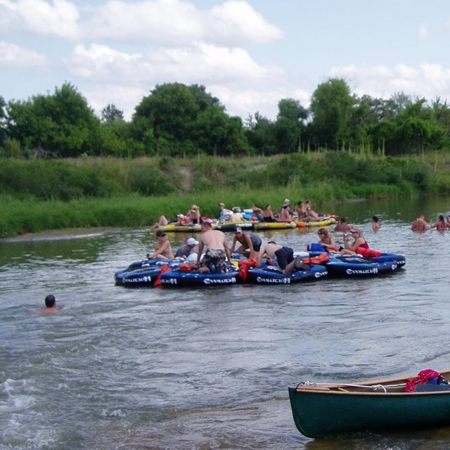
National Park Service LogoU.S. Department of the InteriorNational Park ServiceNational Park Service
National Park Service:  U.S. Department of the InteriorNational Park Service Arrowhead
Niobrara National Scenic RiverBelow Berry Spring
view map
text size:largestlargernormal
printer friendly
Niobrara National Scenic River
Canoeing  Kayaking  Tubing
Egelhoff's Rapids

NPS photo

Canoeing Egelhoff's Rapids

Most visitors come to the Niobrara to float the river by canoe, tube, kayak or raft. Many camp overnight in various private campgrounds operated by individual outfitters, or at the campground in Smith Falls State Park. 

While floating the Niobrara is a popular summer activity, spring and fall are also great times to enjoy the river by canoe or kayak.


The National Park Service does not endorse or promote specific private businesses. The following links are provided for your trip planning convenience:

Local Outfitters

River Flow and Conditions

Float Guides - Downloadable PDF files:

You will need Acrobat Reader to open these files. Acrobat is free, and you can download it here.

Niobrara National Scenic River map

Paddler's Chart - Brief descriptions of 6 stretches of the river.

River Guide 1 - Borman Bridge to Ft. Niobrara National Wildlife Refuge

River Guide 2 - Ft. Niobrara NWR to Berry Bridge

River Guide 3 - Berry Bridge to Brewer Bridge

River Guide 4 - Brewer Bridge to Rocky Ford

River Guide 5 - Rocky Ford to Norden Bridge

River Guide 6 - Norden Bridge to Meadville

Surge Flow - A unique hydrological feature of the Niobrara


Native river carp  

Did You Know?
More species of fish are found in the Niobrara River and its tributaries than any other Nebraska stream. Click "More" to visit the Niobrara National Scenic River "Fish & Crustaceans" page.
more...

Last Updated: June 06, 2009 at 10:32 EST