Binding People & Place / Exploration
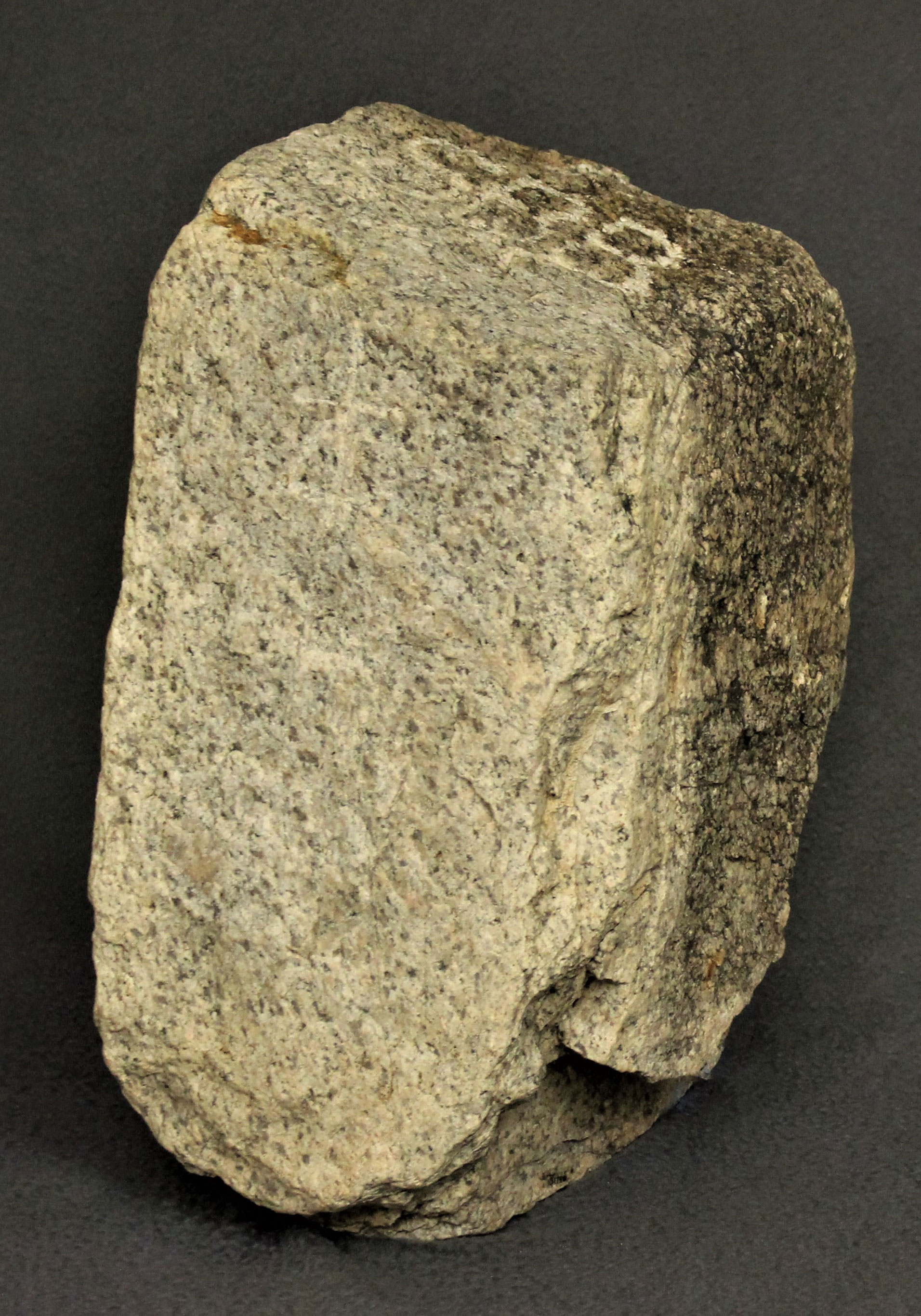
Washington Survey (attributed)
May 1855
In the United States, all land surveys are based on a series of north/south meridians and east/west baselines. Reflecting the official federal requirements for marking government surveys of the time, this baseline benchmark for the quarter section of Section 32 was likely created and set during the 1855 Washington Survey. The survey was the first U.S. government land survey of Southern California and impacted all of Southern California and parts of Nevada and Arizona.
Colonel Henry Washington and his team of 12 set this marker along the baseline survey line after four difficult days of hiking. The marker is inscribed “SBB”, “1/4” for San Bernardino Baseline, 1/4. Washington’s 1855 field notes are the first written description of the areas around Joshua Tree, the oasis which is now park headquarters in Twentynine Palms, and the Native American community living there.
Granite. L 28, W 21, T 18.5 cm
Joshua Tree National Park, JOTR 31796