National Park Service LogoU.S. Department of the InteriorNational Park ServiceNational Park Service
National Park Service:  U.S. Department of the InteriorNational Park Service Arrowhead
Mormon Pioneer National Historic TrailThe Mormon Pioneers passed through Echo Canyon not long after leaving Ft. Bridger, Wyoming on their way to the Salt Lake Valley.
view map
text size:largestlargernormal
printer friendly
Mormon Pioneer National Historic Trail
Operating Hours & Seasons

The Mormon Pioneer National Historic Trail is recognized as a nationally significant resource relevant to the westward expansion of the United States. 
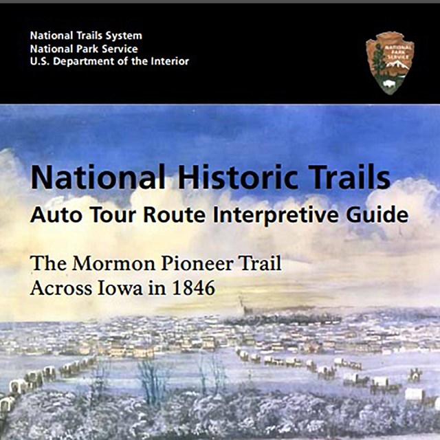
Although administered by the National Park Service, it is not like a typical national park with borders. Rather, it is an historic "road" or route used by hundreds of thousands of emigrants between the mid 1840s and early 1870s as they made their way west to begin a new life or to seek their fortune.

Operating hours and seasons for trail resources and sites of interest along this 1,300 mile route vary with each site and facility. Many private and agency museums and interpretive centers exist from Illinois to Utah. Please visit the Links & Resources page for a listing of trail managers and contact information, as well as a bibliography of suggested reading materials.

Auto Tour Route Maps, which follow modern highways that approximate the historic route are available within this web site, and a list of Suggested Trail Sites to visit will enhance your trail experience.


Trail Partners & Information Resources:

State Travel & Tourism Information:


Top of the Page


Indian Lookout Point near Lisco, Nebraska.  

Did You Know?
The Pioneer Company of the Mormon immigration to Utah stopped at this point in 1847 to climb it in hopes of locating the famous guiding landmark "Chimney Rock." They named the point "Frogs Head Bluff" because they thought the rock looked much like a giant frog's face.

Last Updated: August 02, 2006 at 14:52 EST