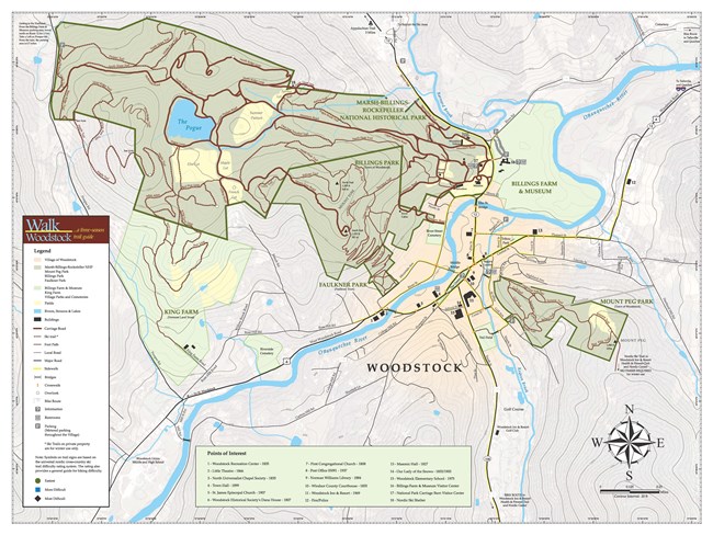
Woodstock Trails Partnership The park has over 20 miles of trails available for visitors to explore. The trails crisscross the property through peaceful forests, spectacular overlooks, historic scenery, and right into downtown Woodstock. The trails can be accessed from the National Park entrance on VT-12 (parking at the Billings Farm & Museum), the National Park parking lot on Prosper Road, the Faulkner Park (Faulkner Trust), or King Farm (Vermont Land Trust). 
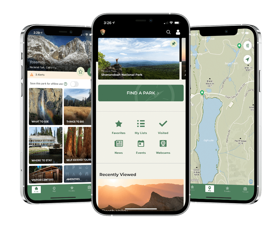
NPS Photo Download the NPS App to View Offline, Interactive Trail Maps
The NPS App connects visitors to all 420+ national parks from one single app. With the app, visitors can access up-to-date information about NPS sites, download maps and tours to use offline, and search things to do and places to explore during their visit. Users can build personalized lists, as well as save and share information with friends.
The following information applies to spring, summer, and fall. For information about exploring the park in the winter during the snow season, see Winter Trail Usage. Get Your MapDownload a map of park hiking trails. Plan Your HikeTrail difficulty ranges from flat, smooth terrain, to steep rocky, terrain, offering a wide range of options for hiking interests and abilities. Below are some suggested walks and hikes:
Hiking Safety
More Local HikesWalk WoodstockWoodstock, VT is a walker's paradise. Woodstock has an extensive network of over 30 miles of trails that connects the National Park to other public lands and the village of Woodstock. The trails can take you from the historic center of Woodstock, across meadows and woodlands, through the National Park and up to scenic vistas overlooking valleys, villages, and rural countryside.In 2004, a coalition of local, state and federal organizations and agencies came together to enhance the awareness, preservation and ultimately use of the network of trails in Woodstock. One of the outcomes of the partnership is a unified Walk Woodstock map that includes the National Park carriage roads and trails as well trails managed by the Billings Park Commission and Faulkner Trust on Mount Tom and Mount Peg, and the Vermont Land Trust trails at the King Farm. HikeVT Trail RecommendationsThe Green Mountain Club is a network of staff and volunteers that staff and volunteers that care for roughly 500 miles of trail in Vermont, including the Appalachian Trail in Vermont; Kingdom Heritage Lands trails in the Northeast Kingdom; and the Long Trail and its side trails.Click here for a list of Vermont hiking recommendations from the Green Mountain Club. Click here for a list of accessible trails around Vermont. Appalachian National Scenic TrailIf you are seeking a more backcountry experience, the Appalachian Trail passes just north of Woodstock, and the Long Trail is not far away. The Green Mountain Club has excellent resources for hiking the Appalachian Trail in Vermont. |
Last updated: October 11, 2023
