High Potential Historic Sites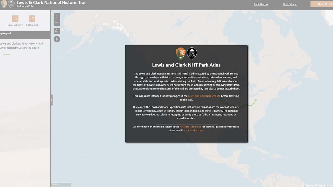
Interactive Park Atlas
The Park Atlas is an interactive map with geographic layers on Trail resources, visitor opportunities, and historic information. Planning Documents |


Last updated: March 3, 2022
High Potential Historic Sites
Interactive Park Atlas
The Park Atlas is an interactive map with geographic layers on Trail resources, visitor opportunities, and historic information. Planning Documents |
Last updated: March 3, 2022