Welcome to Chiricahua National Monument!Chiricahua National Monument is truly a hidden gem just 45 minutes south of I10. 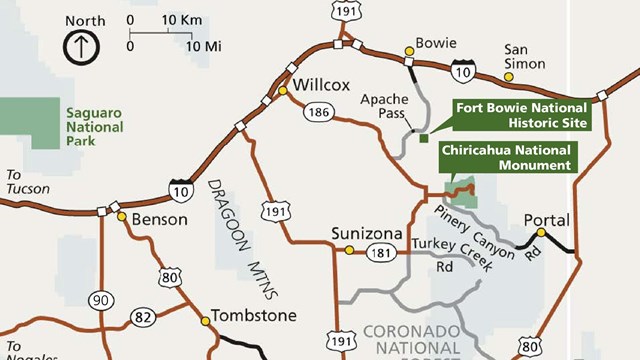
How to Get Here...
Stay on the pavement for an easy drive or take a more adventurous route. 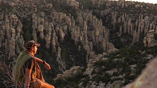
Things To Do
Find out about hiking, the scenic drive, picnicing, camping, horseback riding, birding or watching wildlife. 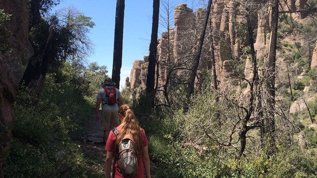
Hiking
Chiricahua offers a range of day hiking options from easy to strenuous. 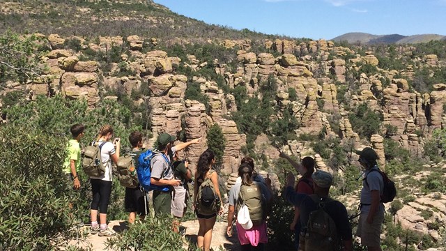
Guided Tours and Programs
Join a park ranger or park volunteer to learn more about the park 
Current Conditions
Check out the current conditions, weather, and climate throughout Chiricahua 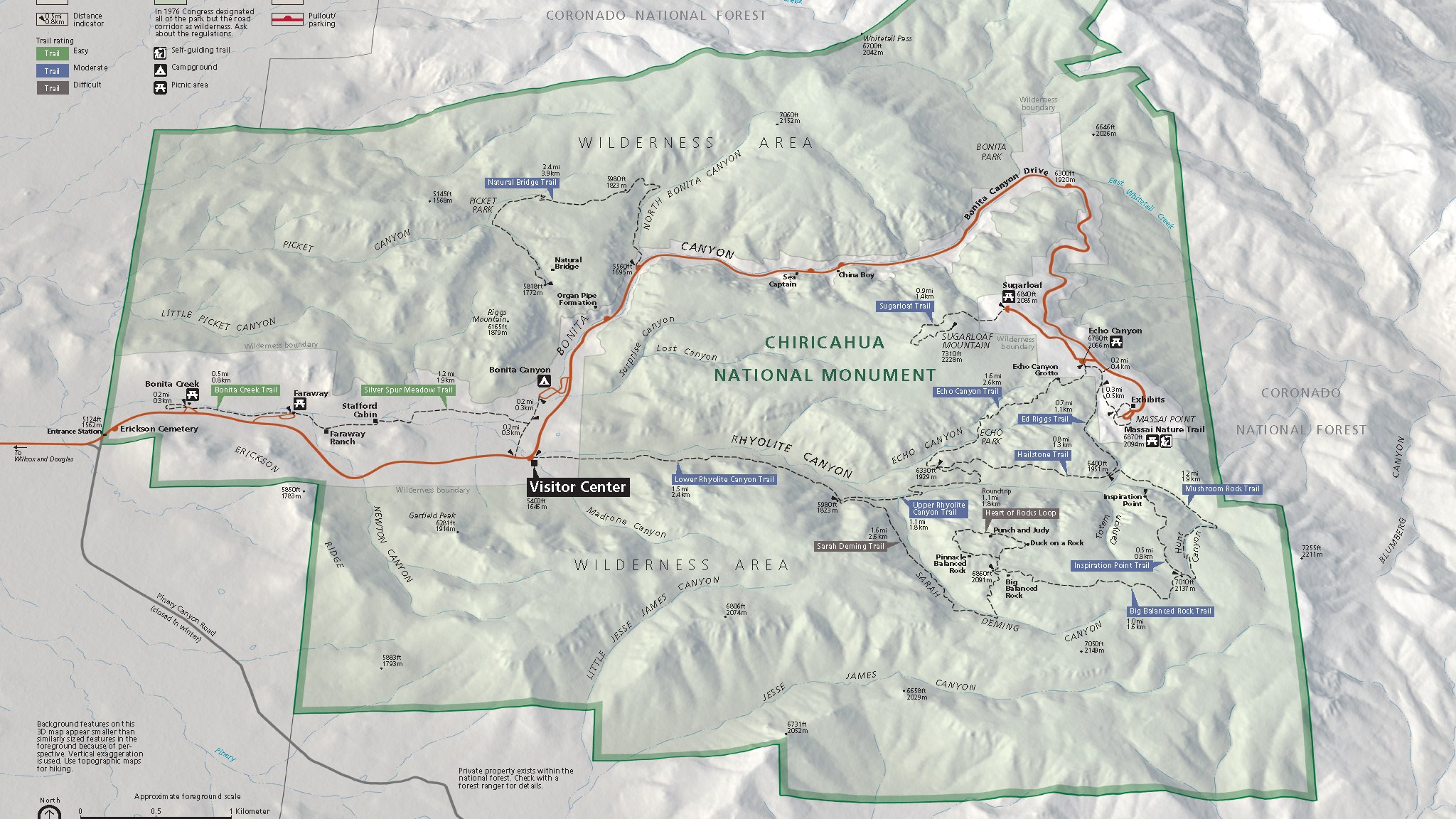
Maps
Maps to help you find your way and plan your trip to Chiricahua 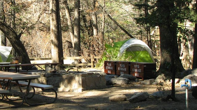
Campground by Reservation Only
This small, historic campground with mature trees can accommodate small vehicles and tents. 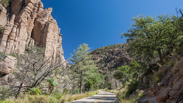
Travel Tips
Travel and safety tips to consider when planning your trip to Chiricahua |
Last updated: January 10, 2025