Services
Plan and Prepare
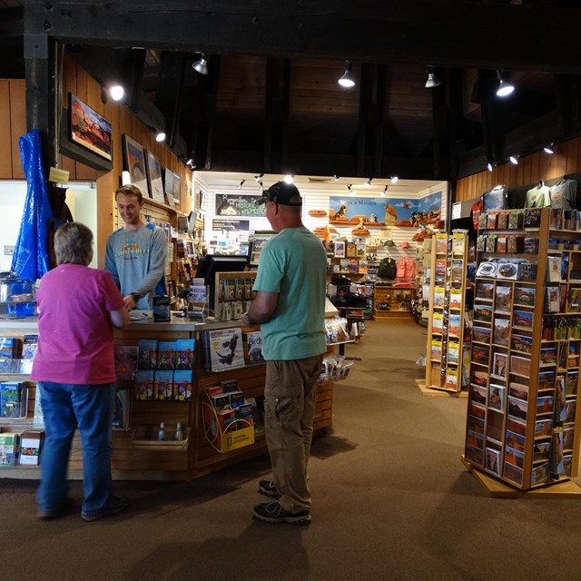
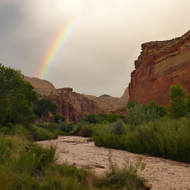
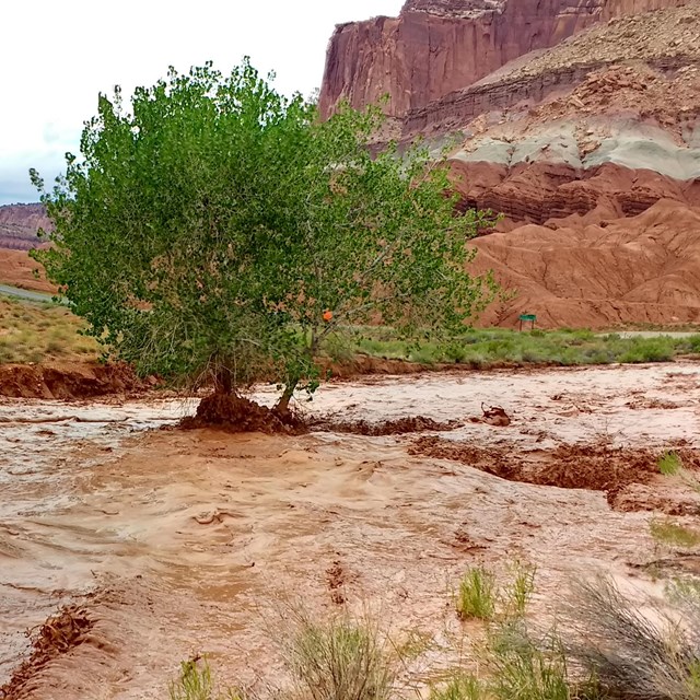
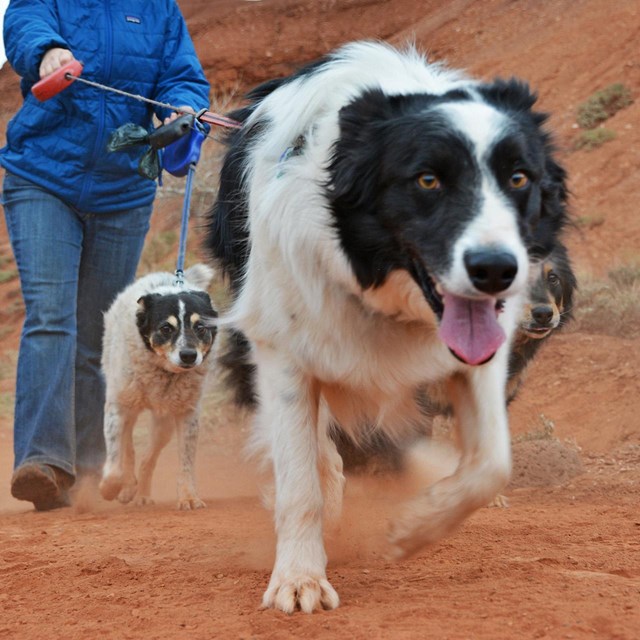
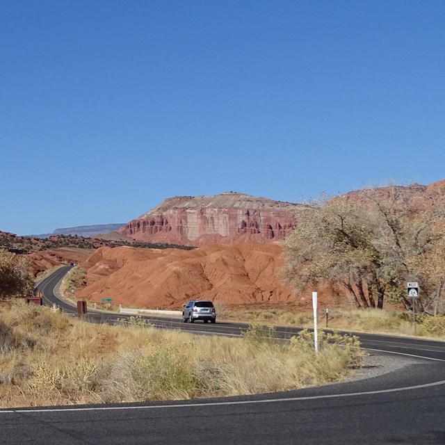
ServicesCapitol Reef National Park does not have a lodge or restaurant. The Wayne County Travel Council has information for services available in Wayne County, Utah. Looking for laundry and showers? Learn about additional local services. The Capitol Reef Natural History Association operates a bookstore in the park visitor center. Water, sunscreen, and hats are available along with a wide variety of books, maps, and gift items. The store offers something for everyone. Other services are available in the adjacent communities of Torrey, Caineville, and Hanksville. WeatherWeather page for climate information and a link to the current forecast. PetsMost park service sites are pet restrictive. Please refer to the regulations for more information. Road ConditionsFor current road conditions, refer to the recorded message on the automated phone system at (435) 425-3791. Press 1 for more information, then 4 for road conditions. |


Last updated: December 6, 2022