National Park Service LogoU.S. Department of the InteriorNational Park ServiceNational Park Service
National Park Service:  U.S. Department of the InteriorNational Park Service Arrowhead
Buffalo National RiverCanoeists float near large cliff
view map
text size:largestlargernormal
printer friendly

America's First National River
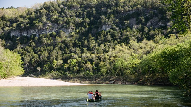
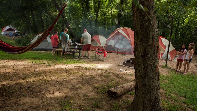
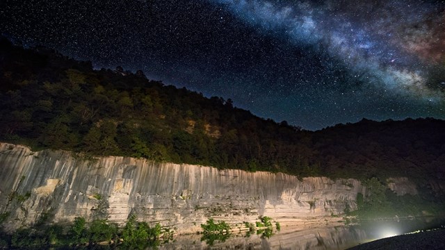
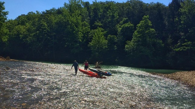
The Buffalo National River flows free over swift running rapids and quiet pools for its 135-mile length. One of the few remaining rivers in the lower 48 states without dams, the Buffalo cuts its way through massive limestone bluffs traveling eastward through the Arkansas Ozarks and into the White River. Explore the river by canoe or take the back roads into the pioneer history of the Buffalo River region or enjoy a hike in one of the three designated wilderness areas. Welcome Message....
 
Paddling down the river

Enjoy a day of river running or fishing

The Buffalo is suited for all canoeing abilities. You can find whitewater in the upper stretches of the river to satisfy the adventurer and long, lazy floats on the lower river for those folks seeking quiet solitude. Water levels will vary during the year based on rainfall activity. Visit the USGS hydrological web page to receive the latest information on rainfall and river levels. Bring your own canoe or make arrangements to rent a canoe, kayak, or raft from one of the park's many concessioners. Johnboats are also for rent. Fishing guide services can be arranged.

 
Parker-Hickman Cabin

The past is close at hand

Native Americans lived within the Buffalo River valley on the river terraces and under the massive bluffs. Hike to the bluff shelter known as the Indian Rockhouse. Pioneers settled along the river as well in communities like Erbie and Boxley. Visit the once thriving mining community of Rush.
 
Red tent on a gravel bar along the Buffalo National River

Where to stay

Do you want an outdoor experience? Find a campsite in one of the national river's 13 campgrounds. Campsites range from primitive to hook-ups; these beautiful campgrounds are spaced all along the length of the river. Or take your gear with you and spend the night on a gravel bar. Looking for lodging accommodations? You can stay in rustic cabins constructed by the Civilian Conservation Corps.
 
Full river with rapids

River Levels

What's happening with the river? Is there enough water for floating? Visit the USGS Hydrological site to find the answers to these questions.
 

Write to

Buffalo National River
402 N. Walnut, Suite 136
Harrison, AR 72601

E-mail Us

Phone

Visitor Information
(870) 439-2502

Park Headquarters
(870) 741-5443

Fax

(870) 741-7286

Climate

The climate for Buffalo National River is typical of the Ozark region and the Mid-South. Winters can be cold with average daily temperatures between 24 and 49 degrees F. Summers can be hot with high humidity; all the better to play in the river. Temperatures range from the mid-80s to high 90s with humidity on some days in the 90% range. Spring is sometimes unsettled, with thunderstorms. Fall can present itself with a burst of color on the trees and comfortable temperatures in the 70s - 80s.
The front of the Tyler Bend Visitor Center.  

Did You Know?
Did you know that the Tyler Bend Visitor Center is a great place to receive information about Buffalo National River? The center offers exhibits, books, films, and park information.

Last Updated: April 24, 2008 at 10:41 EST