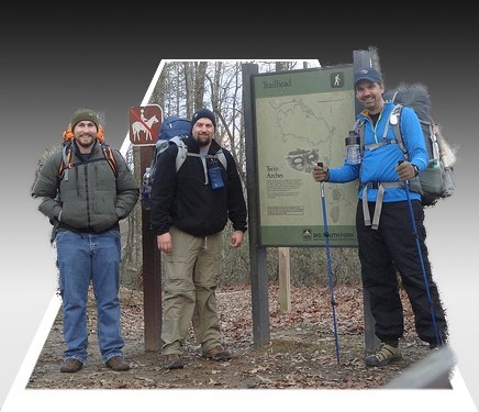
On the maps, the trails are marked with an alternating purple and white line.
2.Middle Creek-Slave Falls-Charit Creek - 15.6 miles (2,291 KB pdf) 3.John Litton-Fall Branch-Grand Gap - 15.7 miles (2,545 KB pdf) 4.Yamacraw-Yahoo Falls - 16.9 miles (2,147 KB pdf) 5.Honey Creek-John Muir Trail-Burnt Mill - 18.6 miles (2,268 KB pdf) 6.John Litton-John Muir Trail-Laurel Fork Creek-West Entrance - 26.9 7.John Muir Trail-Rock Creek-West Entrance - 54.7 miles (3,887 KB pdf) 8.Leatherwood-Honey Creek-Burnt Mill Loop - 28.9 miles (1,778 KB pdf) |
Last updated: October 3, 2024
