
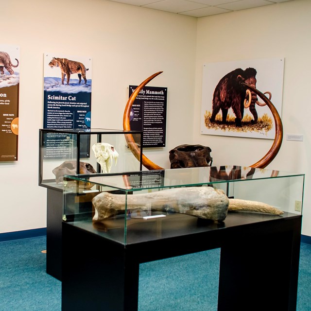
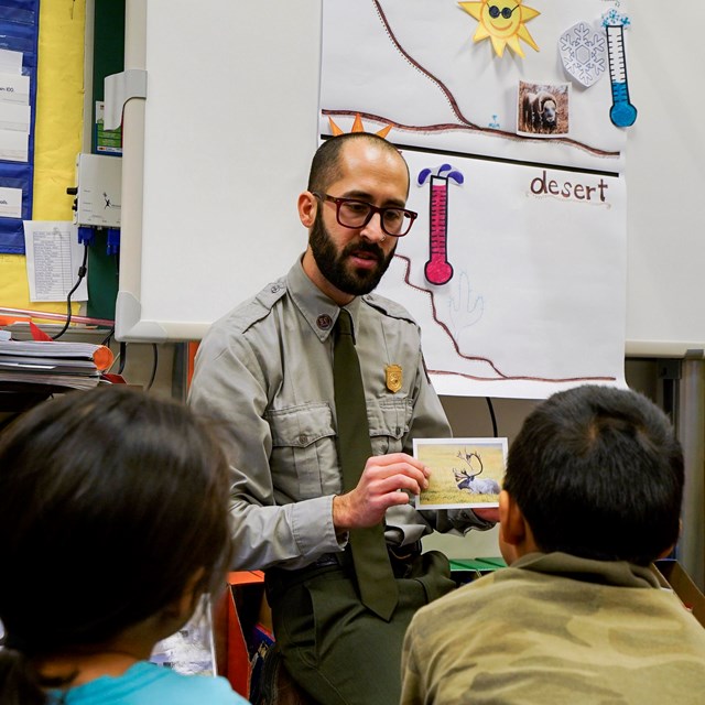
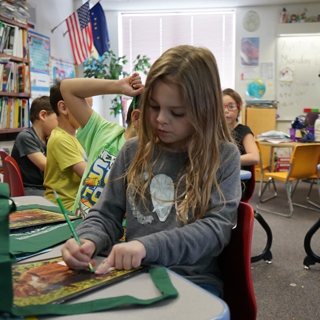
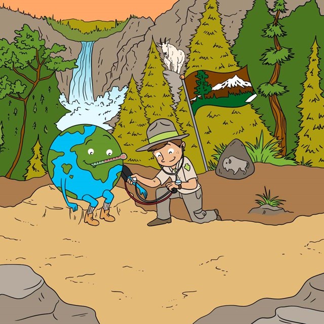
NPS Photo Bring Bering Land Bridge to your classroom!Bering Land Bridge National Preserve protects a small portion of the once enormous land bridge that connected the North American continent with Eurasia. It may be one of the most remote units in the National Park Service system, but don’t let that fool you! There’s lots to explore and learn about Bering Land Bridge National Preserve.Connect your students with a ranger and explore this region of the world, how animals survive in the arctic, the tundra, and more. Bering Land Bridge provides education programs for classrooms both near and far. Connect with a ranger for a virtual program, invite a ranger into your classroom, or schedule a field trip to the Bering Land Bridge Visitor Center. Need more information? Explore our virtual library of educational resources to learn more about Bering Land Bridge.
|

Last updated: October 11, 2023