Last updated: June 18, 2024
Article
NPS Geodiversity Atlas—Fort Point National Historic Site, California
Geodiversity refers to the full variety of natural geologic (rocks, minerals, sediments, fossils, landforms, and physical processes) and soil resources and processes that occur in the park. A product of the Geologic Resources Inventory, the NPS Geodiversity Atlas delivers information in support of education, Geoconservation, and integrated management of living (biotic) and non-living (abiotic) components of the ecosystem.

Introduction
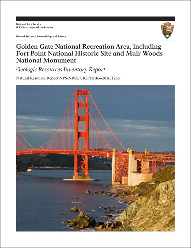
Golden Gate National Recreation Area (GOGA) is one of the largest urban parks on Earth, stretching across California’s San Francisco Bay area in Marin, San Francisco, and San Mateo Counties. Established on October 27, 1972, GOGA encompasses approximately 33,195 hectares (82,027 acres) and preserves iconic coastal scenery (Marin Headlands), beaches, lagoons, more than 160 km (100 mi) of trails, an infamous prison (Alcatraz Island), massive trees (Muir Woods), former U.S. military fortifications, and the site of the initial Spanish fortification in San Francisco (the Presidio). The national recreation area is part of the United Nations (UNESCO)-designated Golden Gate Biosphere Reserve, home to more than 1,250 plant and animal species, including some of the most rare, threatened, and endangered species in the NPS (National Park Service 2017). GOGA’s namesake, “Golden Gate,” refers to the narrow strait connecting San Francisco Bay to the Pacific Ocean. The bay, isolated islands, and rugged headlands created a valuable landscape that supported commerce and facilitated defense (Port 2016). GOGA consists of a collection of NPS-administered areas that includes two other park units—Fort Point National Historic Site (FOPO) and Muir Woods National Monument (MUWO).
Geologic Setting
GOGA is situated in one of the most geologically active regions of the United States and serves as an ideal setting to study the geologic processes associated with plate tectonics. Rocks underlying GOGA date back to the Jurassic Period (~160 Ma), when the western margin of North America represented a convergent plate boundary between the ancient Farallon oceanic plate and North American continental plate. Because oceanic crust is denser than continental crust, the Farallon Plate sank beneath the North American Plate and formed what geologists refer to as the “Franciscan subduction zone”. Franciscan subduction occurred from about 160 Ma to 50 Ma (Elder 2013). Basement rocks within GOGA and the surrounding area formed (or at least assembled) in various geologic settings (e.g., oceanic trench, forearc basin, and volcanic arc) associated with the Franciscan subduction zone. Formations mapped within GOGA can be broken down into three main groups: (1) rocks of the Jurassic–Eocene Franciscan Complex; (2) Jurassic and Cretaceous-age intrusive and volcanic rocks; and (3) Cenozoic units of the Whiskey Hill Formation, Purisima Formation, Millerton Formation, Olema Creek Formation, Merced Formation, Santa Clara Formation, and Colma Formation. GOGA is bisected by the San Andreas fault system, a transform boundary between the North American Plate and Pacific Plate. Initiation of the modern transform boundary began in Southern California about 28 Ma and extended through the Bay Area approximately 10 Ma (Atwater 1989; Page and Wahrhaftig 1989; Elder 2013).
Regional Geology
Fort Point National Historic Site is a part of the Pacific Border Physiographic Province and shares its geologic history and some characteristic geologic formations with a region that extends well beyond park boundaries.
- Scoping summaries are records of scoping meetings where NPS staff and local geologists determined the park’s geologic mapping plan and what content should be included in the report.
- Digital geologic maps include files for viewing in GIS software, a guide to using the data, and a document with ancillary map information. Newer products also include data viewable in Google Earth and online map services.
- Reports use the maps to discuss the park’s setting and significance, notable geologic features and processes, geologic resource management issues, and geologic history.
- Posters are a static view of the GIS data in PDF format. Newer posters include aerial imagery or shaded relief and other park information. They are also included with the reports.
- Projects list basic information about the program and all products available for a park.
Source: Data Store Saved Search 2861. To search for additional information, visit the Data Store.
A NPS Soil Resources Inventory project has been completed for Fort Point National Historic Site and can be found on the NPS Data Store.
Source: Data Store Saved Search 2929. To search for additional information, visit the Data Store.

Related Links

