Last updated: June 14, 2024
Article
NPS Geodiversity Atlas—Chattahoochee River National Recreation Area, Georgia
Geodiversity refers to the full variety of natural geologic (rocks, minerals, sediments, fossils, landforms, and physical processes) and soil resources and processes that occur in the park. A product of the Geologic Resources Inventory, the NPS Geodiversity Atlas delivers information in support of education, Geoconservation, and integrated management of living (biotic) and non-living (abiotic) components of the ecosystem.

Introduction
Chattahoochee River National Recreation Area (CHAT) encompasses a 77 km (48 mi)-stretch of the Chattahoochee River corridor between Buford Dam and the confluence with Peachtree Creek in Cobb, DeKalb, Forsyth, Fulton, and Gwinnett Counties, Georgia. Established on August 15, 1978, CHAT encompasses approximately 3,965 hectares (9,798 acres) and preserves the natural and cultural resources of the Chattahoochee River while providing abundant recreational opportunities (National Park Service 2016a). Recreational experiences are enhanced by the recreation area’s scenic qualities, which include relatively undisturbed forests, wetlands, bluffs, ravines, and open water areas. Located north of Atlanta, CHAT is an ecological oasis within a densely populated region, serving as a home for more than 950 species of plants and a diverse assemblage of wildlife (National Park Service 2017). Cultural resources along the Chattahoochee River record a history of human occupation dating back 10,000 years, reflected in archeological sites, historic structures, and cultural landscapes. CHAT is composed of 15 individual units that were assigned names that reflected local community features or historical resources. From north to south, these units are: Bowmans Island, Orrs Ferry, Settles Bridge, McGinnis Ferry, Suwanee Creek, Abbotts Bridge, Medlock Bridge, Jones Bridge, Holcomb Bridge, Island Ford, Vickery Creek, Gold Branch, Cochran Shoals, Johnson Ferry, and Palisades.

Geologic Setting
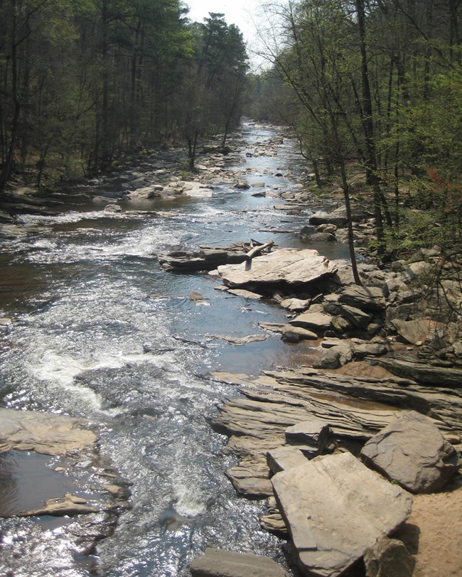
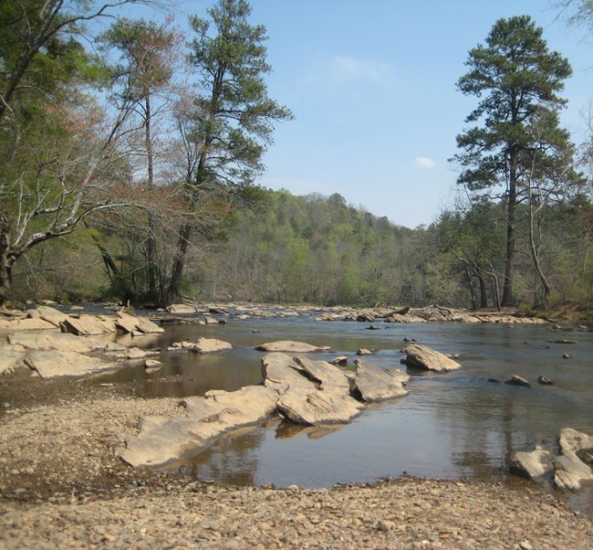
CHAT runs along the Brevard Fault Zone, a 515 km (320 mi)-long feature that represents the boundary between the Appalachian Mountains and the Piedmont Plateau. Confined by the Brevard Fault, the Chattahoochee River is one of the oldest and most stable channels in the United States and contains steep, rugged palisades, rocky shoals, sheer rock faces, and exposed geologic formations that provide remarkable scenery. Geologic units mapped within CHAT represent a diverse assemblage of metamorphic rocks ranging from the Precambrian through the Paleozoic. The crystalline nature of these rocks is responsible for the recreation area’s geological features, including the stability of the river corridor and its ridges, cliffs, and palisades. Formal units within CHAT consist of the Mesoproterozoic–Permian(?) Long Island Creek Gneiss; Neoproterozoic–Ordovician(?) Ropes Creek Metabasalt, Crider Gneiss, and Powers Ferry Member of the Stonewall Gneiss; and the Cambrian(?) Chattahoochee Palisades Quartzite.
Regional Geology
Chattahoochee River National Recreation Area is a part of the Piedmont Physiographic Province and shares its geologic history and some characteristic geologic formations with a region that extends well beyond park boundaries.
- Scoping summaries are records of scoping meetings where NPS staff and local geologists determined the park’s geologic mapping plan and what content should be included in the report.
- Digital geologic maps include files for viewing in GIS software, a guide to using the data, and a document with ancillary map information. Newer products also include data viewable in Google Earth and online map services.
- Reports use the maps to discuss the park’s setting and significance, notable geologic features and processes, geologic resource management issues, and geologic history.
- Posters are a static view of the GIS data in PDF format. Newer posters include aerial imagery or shaded relief and other park information. They are also included with the reports.
- Projects list basic information about the program and all products available for a park.
Source: Data Store Saved Search 2785. To search for additional information, visit the Data Store.
A NPS Soil Resources Inventory project has been completed for Chattahoochee River National Recreation Area and can be found on the NPS Data Store.
Source: Data Store Saved Search 2849. To search for additional information, visit the Data Store.

Related Links
